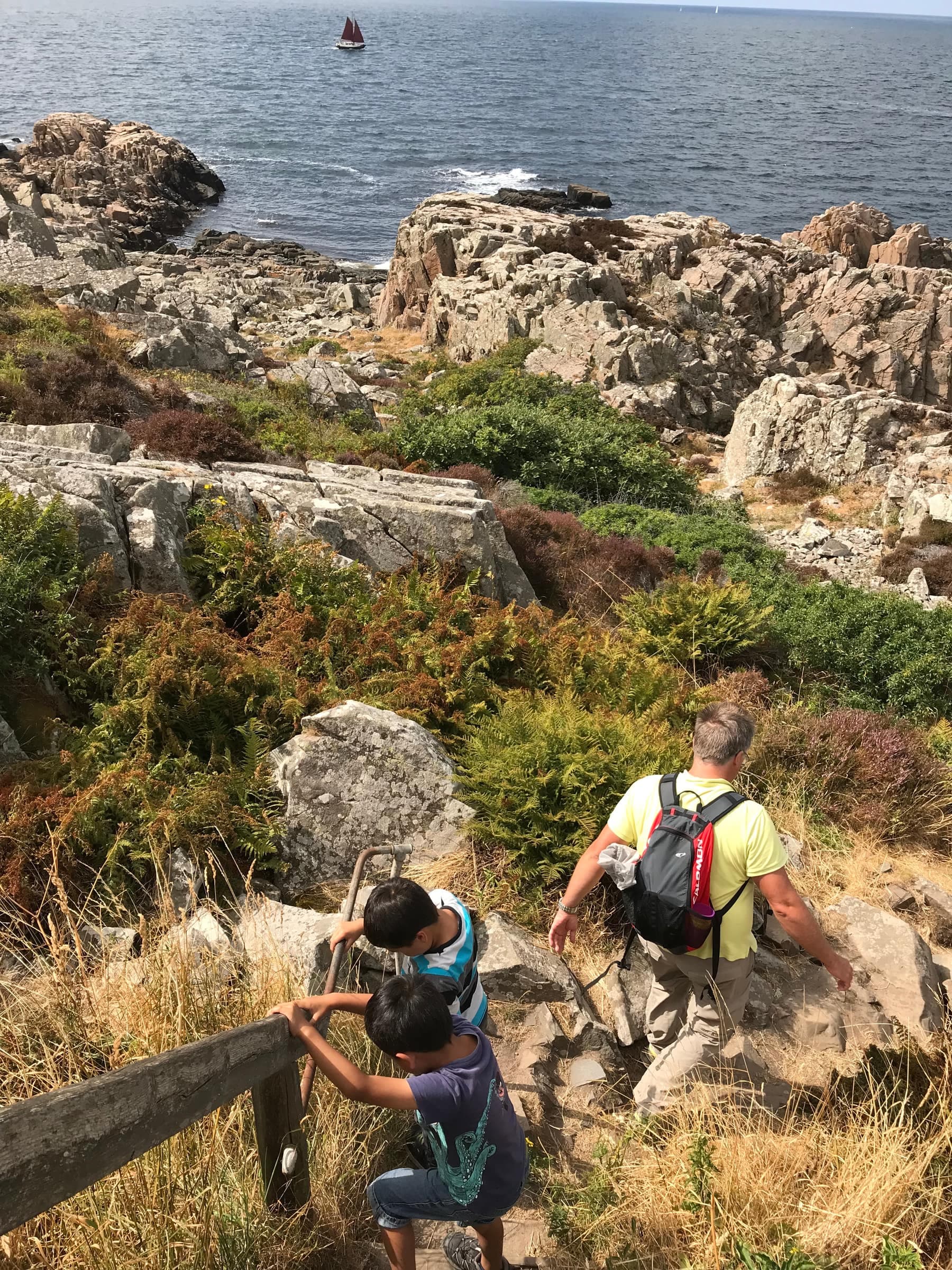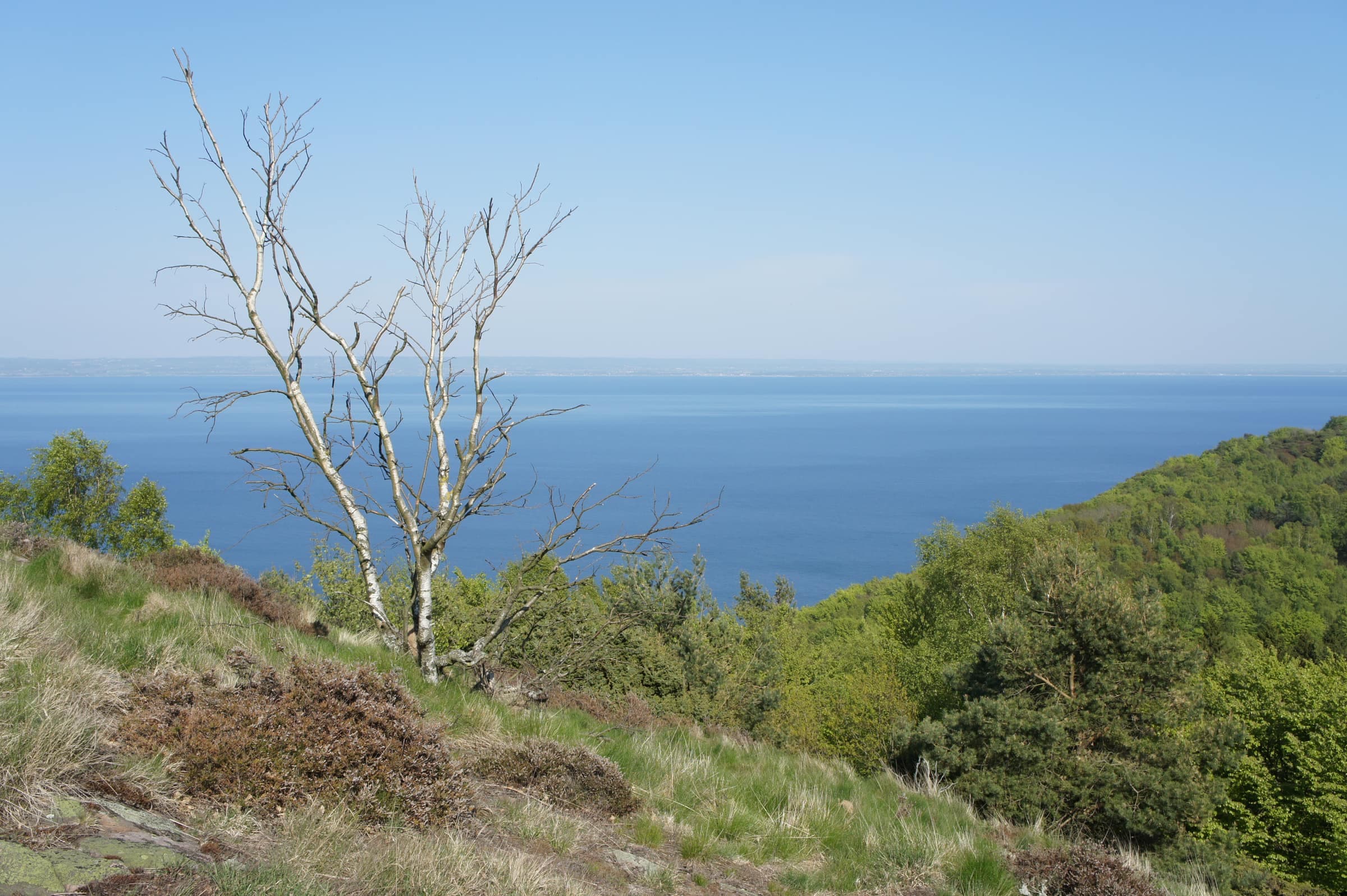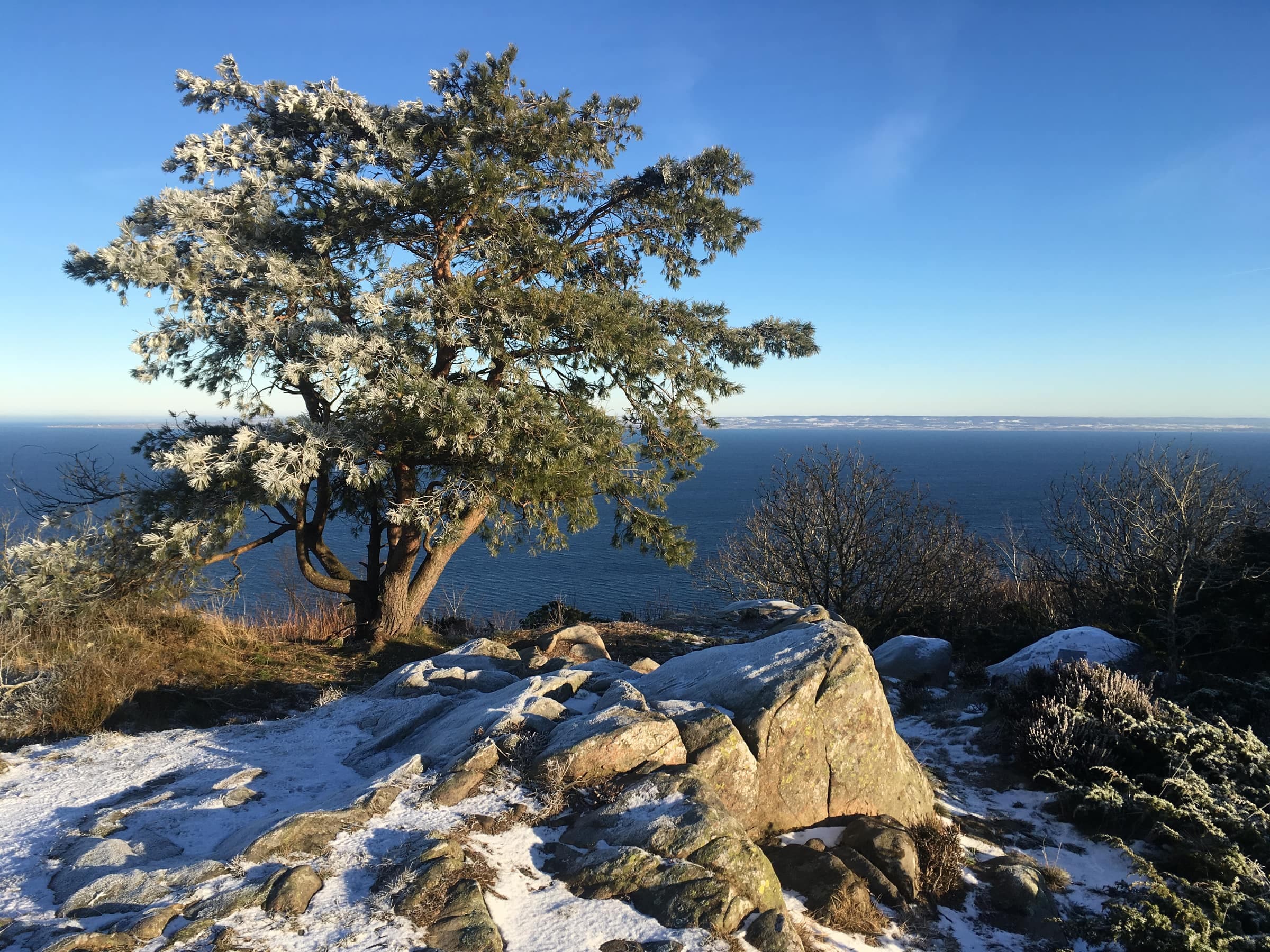
Gregers backar is Kullaberg's second-highest top, 175 meters above the sea. Its open crown of bare rock and heather gives an almost 360° view over Skälderviken bay, the Bjäre peninsula and Torekov. It lies on the Blue trail about 1.5 km west of Håkull, so the two tops make one walk.
The memorial
On a boulder at the top, a memorial plaque remembers four pilots from the F 14 air wing in Halmstad. At 07:31 on the morning of Sunday 4 March 1956, their four Vampire jets flew into the hillside in thick fog during a navigation exercise, and all four were killed here. The plaque gives their names and ages, 23 to 38, and ends: "Always missed, never forgotten."
Getting there
The nearest car park is at Björkeröd, about 2 km away: walk to the Red trail, take the yellow path past Håkulls mosse up to the Blue trail and follow it west, climbing about 120 meters in all. From Josefinelust it is about 3.3 km east along the Blue trail, across the Djupadal ravine, and from Himmelstorp about 4 km, over Håkull. Kullaleden's orange marks don't go up to the top, so follow the blue ones.
Good to know
- Bird closurefrom 1 March to 15 July the north-coast slopes below the top are closed for nesting birds; the top and the Blue trail stay open
- Rulesdogs on a leash all year; fires and camping stoves only at the fixed grill sites, such as those at Björkeröd and Josefinelust, never during a strict fire ban
- Safetyrock and roots get slippery when wet, and the seaward side drops steeply