Sign in
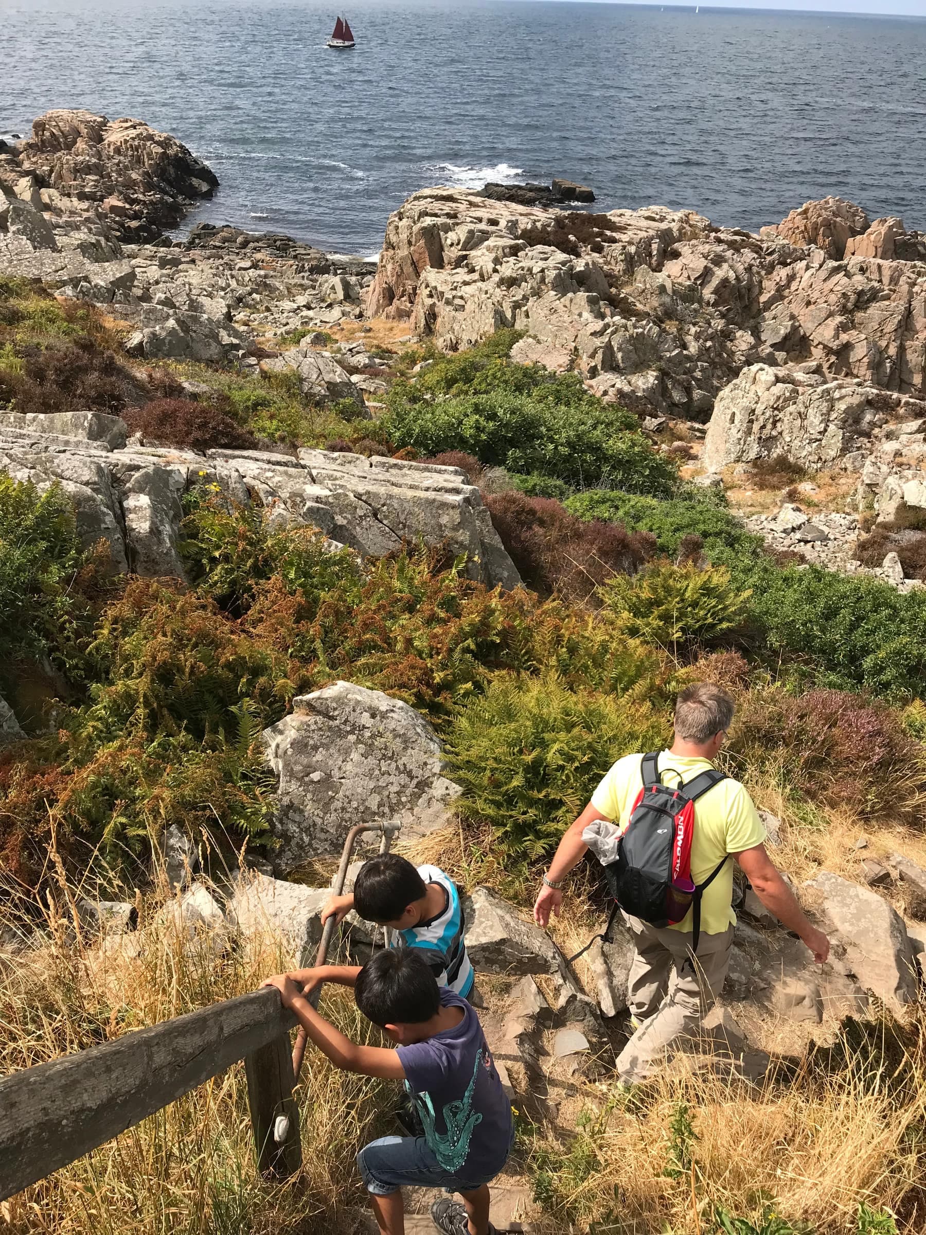
A family scrambling along the rocky trail on Kullaberg, above the sea

Hiking

Color-marked trails over Kullaberg's cliffs, beech woods and heath, from short loops to Kullaleden, about 70 km round the peninsula.

Marked trails on the map

All trails

Every waymarked trail on and around Kullaberg, drawn in the color you'll see painted on the trees. Pick one to see where it goes.

All trails
Kullaberg reserve
Kullaleden
Village loops
Other reserves
Accessible paths

Loading the map…

18 trails
TrailkmTimeLevel
3–4 h · Moderate
9.63–4 hModerate
3–6 h · Challenging
8.63–6 hChallenging
5–30 min · Moderate
65–30 minModerate
30–60 min · Challenging
1.330–60 minChallenging
4–5 days · Moderate
704–5 daysModerate
1.5 h · Moderate
4.61.5 hModerate
1.5 h · Easy
4.81.5 hEasy
1.5–2 h · Easy
61.5–2 hEasy
2–2.5 h · Easy
82–2.5 hEasy
2–2.5 h · Easy
82–2.5 hEasy
1.5 h · Easy
51.5 hEasy
1 h · Easy
31 hEasy
15–20 min · Easy
1.2515–20 minEasy
20–45 min · Easy
120–45 minEasy
15–25 min · Easy
0.815–25 minEasy
45–60 min · Easy
345–60 minEasy
45–75 min · Moderate
345–75 minModerate
7–8 h · Easy
307–8 hEasy

Trail lines and map data © OpenStreetMap contributors. Tap a trail on the map or in the table to highlight it.

On this page

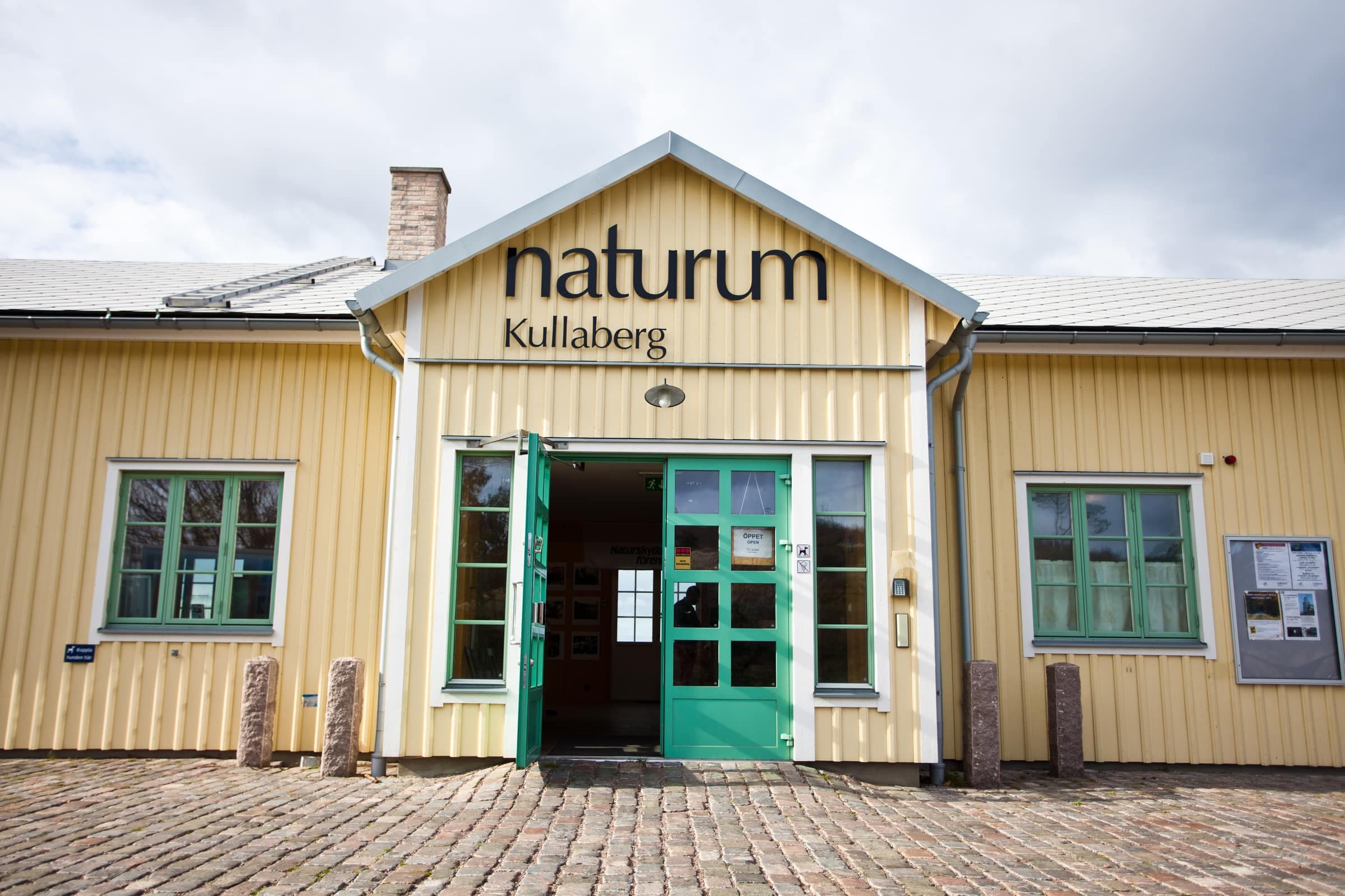
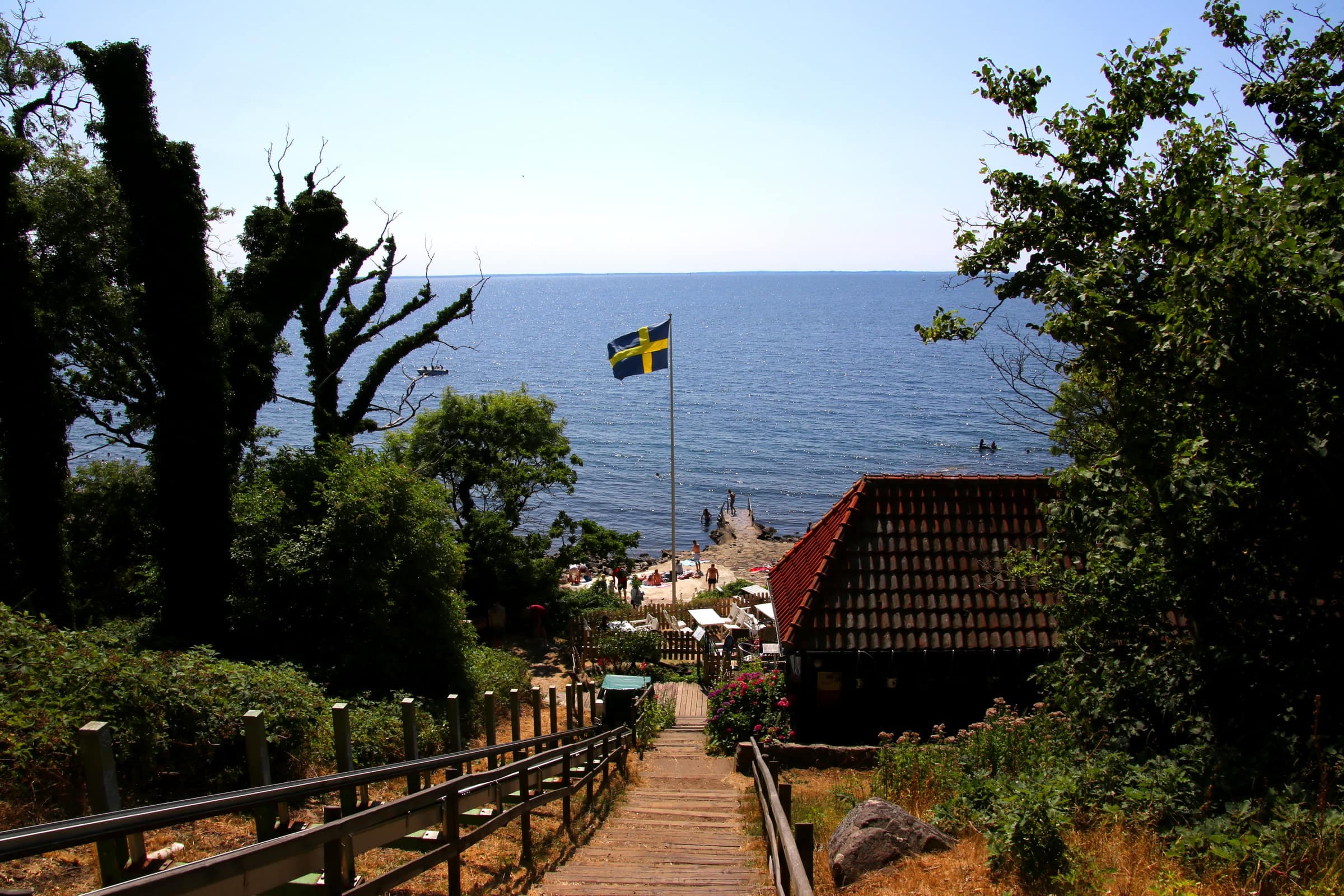
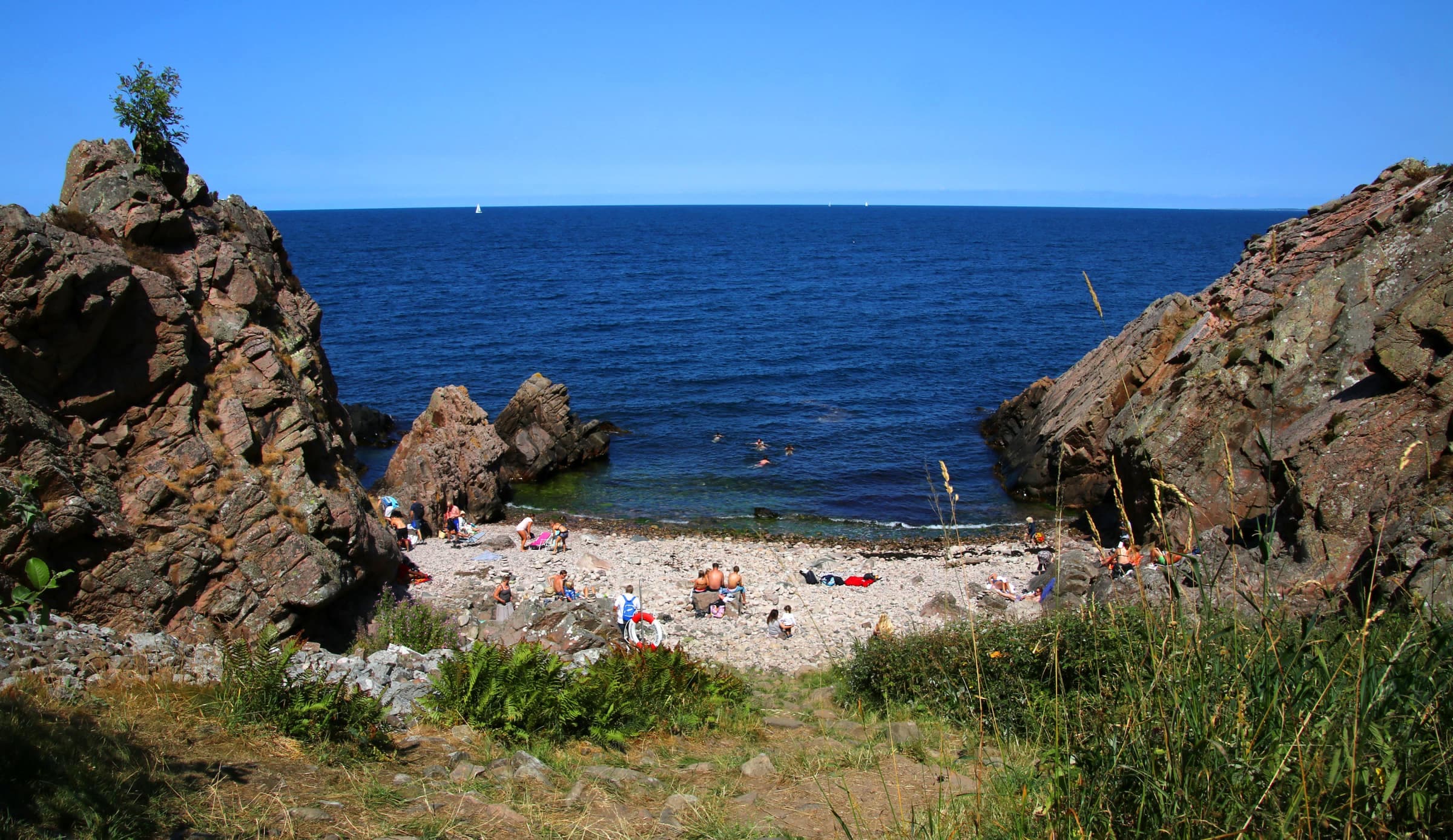
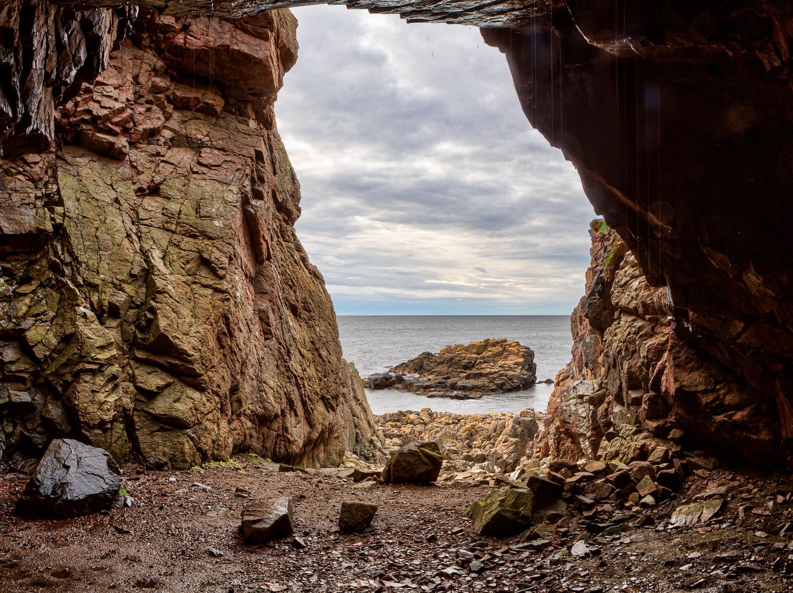
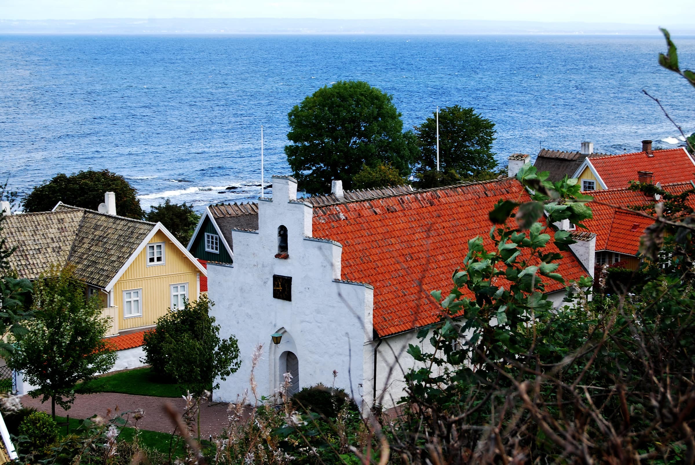
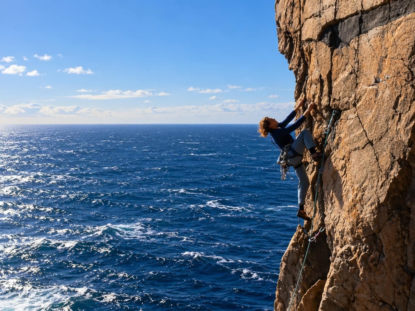
Kullaberg packs a lot of walking into one ridge of ancient rock that juts into the sea, from the fishing village of Arild out to Kullen Lighthouse at its tip. Paths lead through beech woods and over grazed heath to cliffs nearly 80 meters high, with steep side paths down to coves and caves. The nature reserve is open all year and free, and most walks take a few hours on paths that are well marked but rarely flat.

Walkers at the map board by a Kullaberg nature reserve trailhead

Photo: Karl Baron · CC BY 2.0

Out hiking on Kullaberg

Photo: Lars Strandberg / Familjen Helsingborg · CC BY 2.0

Beech forest on Kullaberg in spring

Photo: Peterappelros · CC BY 3.0

How the waymarks work

Each trail has its own color, marked on trees, posts and stones as on the map above, and signposts at junctions give distances.

  • Redthe Red trail takes the gentler south side, 9.6 km from the lighthouse past the edge of Mölle to Arild.
  • Bluethe Blue trail follows the north cliffs and the highest tops, about 8.6 km from the lighthouse to Himmelstorp: Kullaberg's toughest walking.
  • Yellowthe Yellow cross paths link the Red and Blue trails, so you can walk a loop of almost any length.
  • Orangeorange plates and painted squares mark Kullaleden, part of Skåneleden, which often shares the Red and Blue trails' paths. An orange plate with a cross means you have gone wrong.
  • Village loopsthe loops in Mölle, Arild, Viken and Höganäs and in the Nabben and Skäret reserves have their own marks.
  • Accessible loopsBjörkeröd's three loops for wheelchairs and strollers are named after the colors of their lines on the reserve's map: purple, white and black.

Choosing a walk

  • Shortthe lighthouse loop from naturum, about 6 km, makes a good first walk, and the village loops Mölleslingan and Arildslingan are just under 5 km each.
  • A full daytake the bus to Arild and walk Skåneleden's 16 km across Kullaberg back to Mölle, or circle the tip from Mölle, about 17 km.
  • With childrenthe Red trail and the Yellow cross paths are easier than the Blue trail, which runs near the cliff edge. Arild to Skäret is a mostly level shore walk.
  • AccessibleBjörkeröd has an 800 m wheelchair loop and two 3 km loops for strollers and all-terrain wheelchairs, and KullaRulla, 30 km of mostly level path, starts in Mölle.

Several days

Kullaleden runs about 70 km round the peninsula, from Helsingborg via Höganäs, Mölle, Kullaberg and Arild to Utvälinge. Buses serve the villages, so you can walk it a stage at a time or end to end: about four days staying in hotels, or five using the shelters, which can't be booked. Wild camping is not an option: the coastal reserves ban tents, apart from Kullaberg's small tent site, and Höganäs municipality bans camping in its nature areas and on its beaches. Mölle and Arild have no grocery store. Kullaleden's page, linked below, has the stages and places to sleep.

Before you go

  • Terrainpaths are often steep, stony and full of roots, above all on the north side, and side paths down to coves and caves are mostly unmarked. Wear shoes with a good grip: rock, roots and steps turn slippery when wet or icy, and rescue services name the wrong shoes as the most common cause of accidents here. Keep back from cliff edges and keep children and dogs close.
  • Watercarry enough for the day. Naturum has drinking water while it is open (1 May–1 November in 2026), and Skåneleden lists a drinking-water tap at Ransvik, April–October. The tap at Josefinelust isn't drinking water. The harbor taps in Mölle and Arild run all year.
  • Weatherwind can blow hard on the open heath and cliff tops; on windy days Skåneleden suggests the shortcut through the forest via Himmelstorp instead of the coast path. In winter, north-side steps can be icy and days are short, so carry a headlamp.
  • Ticksactive roughly March–November, mostly in woods and tall grass; check yourself, children and dogs after a walk.
  • Crowds and parkingcar parks fill early on summer days and weekends, so come early, start from Mölle or Björkeröd, or take the bus. Parking is free, in marked bays only. Since October 2026 the reserve says cars may stay overnight all year, but check before a summer visit: in 2024 and 2025 cars were banned 22:00–06:00 in the period 24 June–11 August. Motorhomes, caravans, light trucks and campervans with fixed beds may not park 22:00–06:00 at any time of year.
  • BusesSkåneExpressen 11 and bus 220 run from Helsingborg to Höganäs, and bus 222 on to Mölle, hourly or more often in 2026. In summer (at least June–August), bus 202 continues to the lighthouse. Arild has bus 223 (line 203 in summer), with gaps of several hours; no bus stops at Björkeröd or Himmelstorp. Check Skånetrafiken's journey planner.

Rules and closures

Kullaberg is a nature reserve, where the right of public access (allemansrätten) is limited:

  • Dogson a leash all year.
  • Firesgrills and camping stoves, gas and spirit ones too, only at the fixed grill sites at Fyrparkeringen, Josefinelust, Björkeröd and Himmelstorp; bring your own wood or charcoal. Länsstyrelsen allows no fires there during a fire ban, and during a strict fire ban (skärpt eldningsförbud) not even a camping stove may be lit.
  • Campingtents only on the small tent site at Fyrparkeringen (about eight tents, first come, first served). You may sleep in the shelters at Josefinelust and Himmelstorp, but without a tent, tarp or hammock. Sleeping in motorhomes, caravans or campervans isn't allowed.
  • Bikesno cycling on the paths of western Kullaberg; mountain bikes only on the marked MTB route in the east.
  • Bird closures1 March–15 July, the north-coast slopes down to the sea are closed at Skårenäs and Visitgrottan and from Djupadal to Valdemarsgrottan, including the path to Söftingsgrottan. The zones are signed, and the Blue trail itself stays open. Länsstyrelsen's 2025 proposal would extend the closure to 31 July (not decided as of October 2026).
  • Naturedon't pick plants or disturb animals, close gates in grazed pastures and keep your distance from cattle, especially cows with calves. Länsstyrelsen doesn't allow drones.

The coast's smaller reserves have their own rules, and some close bird areas in spring and summer.
Popular hikes

Day walks that combine the marked trails, from a couple of hours to a full day. Tap a trail or a place to read more.

Mölle to Kullen Lighthouse

5 km
About 1.5 hours one way, 2–3 hours with stops
Moderate
One way

The classic walk onto Kullaberg follows Kullaleden north from Mölle past Karl XII's redoubts and Solviken, then along the cliff edge on high steps, with handholds, rails or ropes in places, to Ransvik, the rocky cove where mixed bathing made Mölle notorious in the 1890s.

Route details

In late spring, wild garlic scents the path just before the cove. From Ransvik the trail climbs through wind-bent oak scrub and birch, then crosses grazed heath with juniper to Naturum Kullaberg and Kullen Lighthouse. Walk back the same way, take bus 202 from the lighthouse in summer, or make a loop of about 9.5 km: east along the north cliffs on the Blue trail, then down to Mölle on the yellow cross path at Djupadal, signposted to Mölle.

Start
Mölle bus station, a few minutes' walk from the harbor
Waymarks
Orange Skåneleden marks; from above Ransvik, red ones too
Directions to the trailhead

Himmelstorp to Nimis and Arx

2.6 km
Allow 2–3 hours there and back
Challenging
There and back

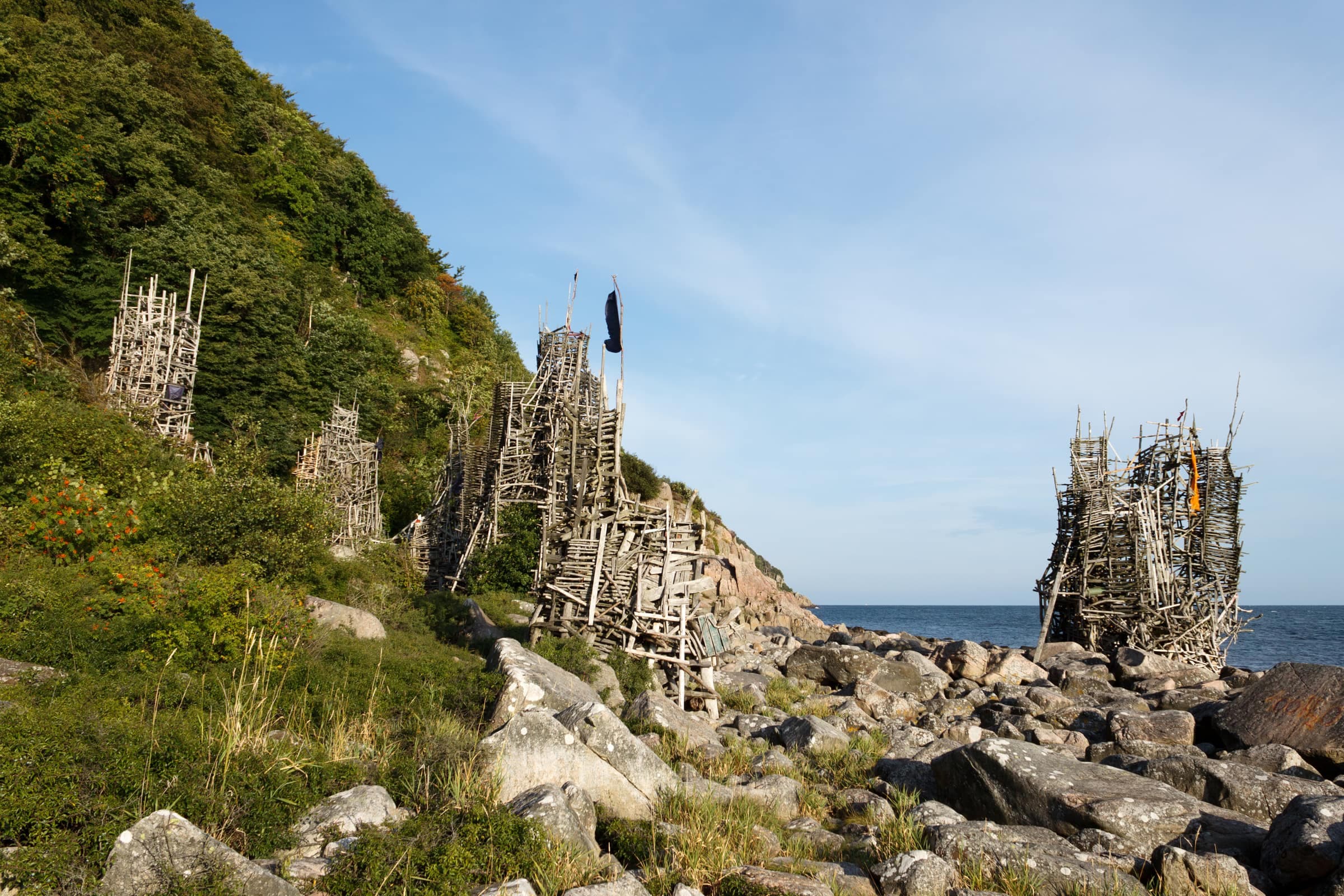
Lars Vilks began Nimis, towers and walkways of driftwood and planks, on the boulder beach below Kullaberg's north cliffs in 1980; Arx, his work in stone and concrete, stands close by.

Route details

From the Himmelstorp car park, walk up past the farm to the Blue trail and Kullaleden toward Håkull, then follow the unofficial N marks down to the right: about 1.3 km each way and more than 100 meters of descent, on a steep, rooty path that is very slippery after rain. The climb back is the hard part. The path is unofficial and unmaintained, and Länsstyrelsen has advised against it, so you go at your own risk: leave small children at home and stay away in bad weather. Climbing the towers is not banned, but it is at your own risk too: parts of the wood are rotting, nails stick out, and Höganäs municipality advises against it. Rock also falls from the cliff: in 2024 a boulder crushed the leg of one tower, which then collapsed.

Start
Himmelstorp car park, between Mölle and Arild (nearest bus stop about 2 km away)
Waymarks
Blue and orange marks, then unofficial N marks
Directions to the trailhead

Lighthouse loop: red, yellow and blue trails

6 km
About 2–3 hours, 3–4 with children
Moderate
Loop

This loop follows Länsstyrelsen's nature trail and makes a good short introduction to western Kullaberg.

Route details

Follow the Red trail from naturum past the viewpoint above Lahibiagrottan, over grazed heath and past the small bog lake Kulla mosse to the oak scrub above Ransvik. A yellow cross path then crosses the ridge to Josefinelust, where a stair leads down to a boulder beach with three caves, and the Blue trail brings you back west along the north cliffs, past Käringmalen and Ablahamn, to the lighthouse. The blue part runs close to the edge, so keep children near; the side path to Visitgrottan is closed 1 March–15 July for nesting birds. For a walk of about 1.5 km, turn back to the car park on the yellow path after the Lahibiagrottan viewpoint.

Start
Naturum Kullaberg, 300–500 m from Fyrparkeringen, the lighthouse car park
Waymarks
Red, then yellow, then blue trail marks
Directions to the trailhead

Håkull, Kullaberg's highest point

5.2 km
About 2 hours there and back
Challenging
There and back

At 188 meters, Håkull is the top of Kullaberg.

Route details

From the Himmelstorp car park, walk up past the farm to the Blue trail and follow it west, about 2.6 km each way, on what Länsstyrelsen calls Kullaberg's hardest stretch: stony, rooty and steep in places. Sadeln, a 167-meter top, is a short side trip on the way, through an old, mossy wood. On the summit are the remains of brick pillars from a survey network of around 1900, and on a clear day you can see over Skälderviken bay to the Bjäre peninsula and Hallands Väderö. The path down to Nimis branches off on the way, so the two combine well. Return the same way, or carry on west over Gregers backar toward the lighthouse.

Start
Himmelstorp car park (nearest bus stop about 2 km away)
Waymarks
Blue trail marks, with Skåneleden's orange alongside
Directions to the trailhead

Arild to Skäret along Skälderviken bay

3.5 km
About 1 hour each way
Easy
One way

East of Arild, Kullaleden follows Skälderviken bay through Nabben nature reserve, a rocky coastal heath with shingle banks and sea stacks.

Route details

From the Bronze Age burial mounds of Nabbahögarna there is a fine view back over Arild. After a little over 3 km you reach Skäret, where the café Flickorna Lundgren lies about 300 meters off the trail; it is usually open only in summer. Walk back the same way, or take bus 223 (line 203 in summer) from the Fjälastorp Skäret stop, but check the return, as departures are few. You can also carry on through Bölsåkra–Tranekärr, which Länsstyrelsen calls a Kullaberg in miniature, to a water-filled quarry at Svanshall, about 6 km from Arild.

Start
Arild harbor
Waymarks
Orange Skåneleden marks
Directions to the trailhead

Kullaberg's wetlands from Björkeröd

7 km
About 2–3 hours
Moderate
Loop

Länsstyrelsen's wetland walk links the quiet mires of eastern Kullaberg on a loop of about 7 km.

Route details

From Björkeröd, where there are tables, a grill and toilets, follow the Red trail west to Mölle mosse, with water lilies in summer, paths all round and a boardwalk on its south side. A yellow path then climbs past a small wetland below Norra Ljungås, with a side trip to Ona mosse, on to Håkulls mosse. Another yellow path leads back to the Red trail by Björkeröd. The mires are edged with floating bog, so stay on the path. Some paths were moved when the water in Mölle mosse and Håkulls mosse was raised in 2023, so follow the marks rather than an old map. For a short walk, just circle Mölle mosse and go back.

Start
Björkeröd car park, east of Mölle (no bus)
Waymarks
Red, then yellow trail marks
Directions to the trailhead

Mölle to Arild via Himmelstorp

6.5 km
About 2 hours
Moderate
One way

Skåneleden's shortcut links Mölle and Arild without going round the tip.

Route details

From Mölle kapell it climbs about 140 meters, mostly on a forest path past the fields of Björkeröd, to Himmelstorp; from there you follow Kullaleden and the Red trail down through beech forest and the Strandhagen meadow to Arild, about 6.5 km in all. Skåneleden lists the shortcut as suitable for families and suggests it for days when the coast is too windy, and Nimis and Håkull are easy to add from Himmelstorp. Its marks are sparser than on the main trail, so watch at junctions. In autumn 2026 the bus between Mölle and Arild took over an hour, with a change in Nyhamnsläge, so walking is often as quick.

Start
Mölle kapell, by the free car park at the village entrance
Waymarks
Orange Skåneleden marks; from Himmelstorp, red ones too
Directions to the trailhead

Arild to Mölle across Kullaberg

16 km
4–5 hours, a full day with detours
Challenging
One way

Skåneleden's stage 3 crosses the whole of Kullaberg and is the peninsula's big day hike.

Route details

From Arild it climbs through the Strandhagen meadow and beech forest to Himmelstorp, and beyond it, detours lead down to Nimis and up to Håkull. The trail then runs west along the north side, past Josefinelust and Kullagården, to Kullen Lighthouse, and back along the south side past Ransvik to Mölle. Skåneleden grades it red (challenging), its most demanding level: expect steep, stony climbs and roughly 500 meters of ascent. Take the bus to Arild, usually with a change, and walk back to Mölle's bus station.

Start
Arild bus stop (Arild Bussplatsen); ends at Mölle bus station
Waymarks
Orange Skåneleden marks, shared with the Red and Blue trails in places
Directions to the trailhead

Round the tip of Kullaberg from Mölle

17 km
5–7 hours, a full day
Challenging
Loop

Skåneleden suggests this day loop round the tip of Kullaberg, with no bus needed.

Route details

Climb the shortcut from Mölle to Himmelstorp, then follow Kullaleden west along the north side, past Josefinelust and Kullagården, to Kullen Lighthouse; Nimis and Håkull are short detours on the way. From naturum the trail turns back along the south side, over grazed heath and down past Ransvik and Solviken to Mölle: about 17 km, most of it on stage 3, which Skåneleden grades red (challenging). Start early and carry water, and outside summer a headlamp: hikers have lost the marks after dark.

Start
Mölle kapell, by the free car park at the village entrance
Waymarks
Orange Skåneleden marks all the way, shared with the Blue and Red trails in places
Directions to the trailhead

Plan your hike

Where to do it

All places

Local guides & businesses

Operators on the peninsula who offer this — check their websites for dates and booking.

All things to do

Reviews

1 review


AS
Anna Svensson
5.0 / 5
May 26, 2026

The cliff trail from Mölle to the lighthouse is one of the best half-day walks in southern Sweden. We did the loop counter-clockwise to get the steep bit early. Bring water — there is no tap on the cape.