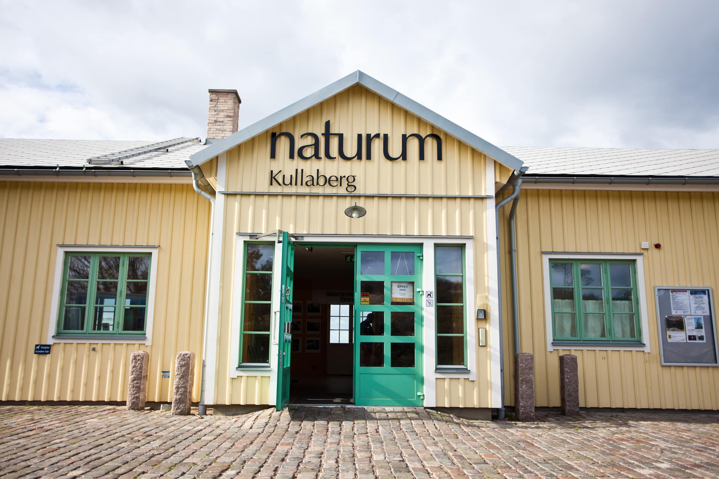
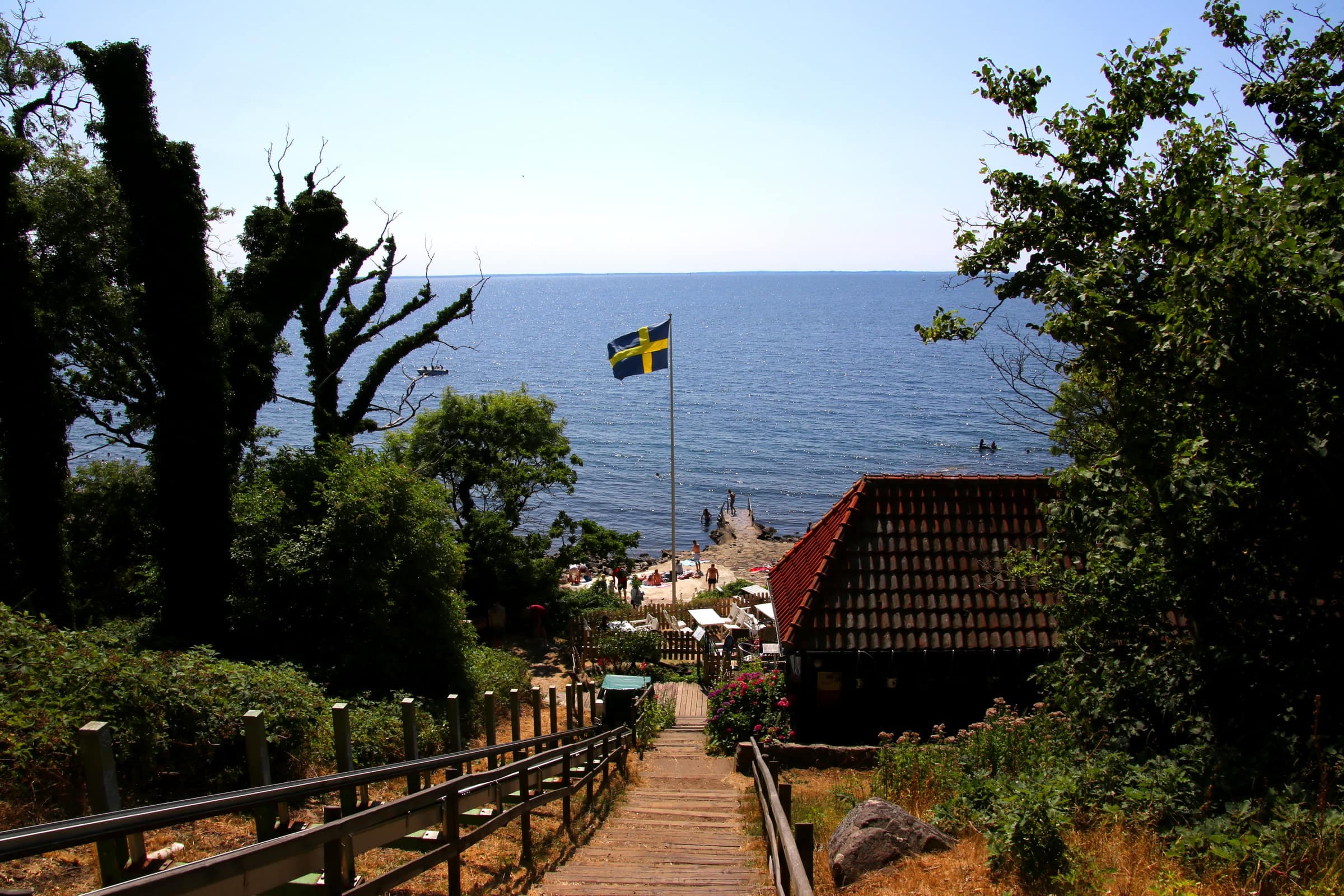
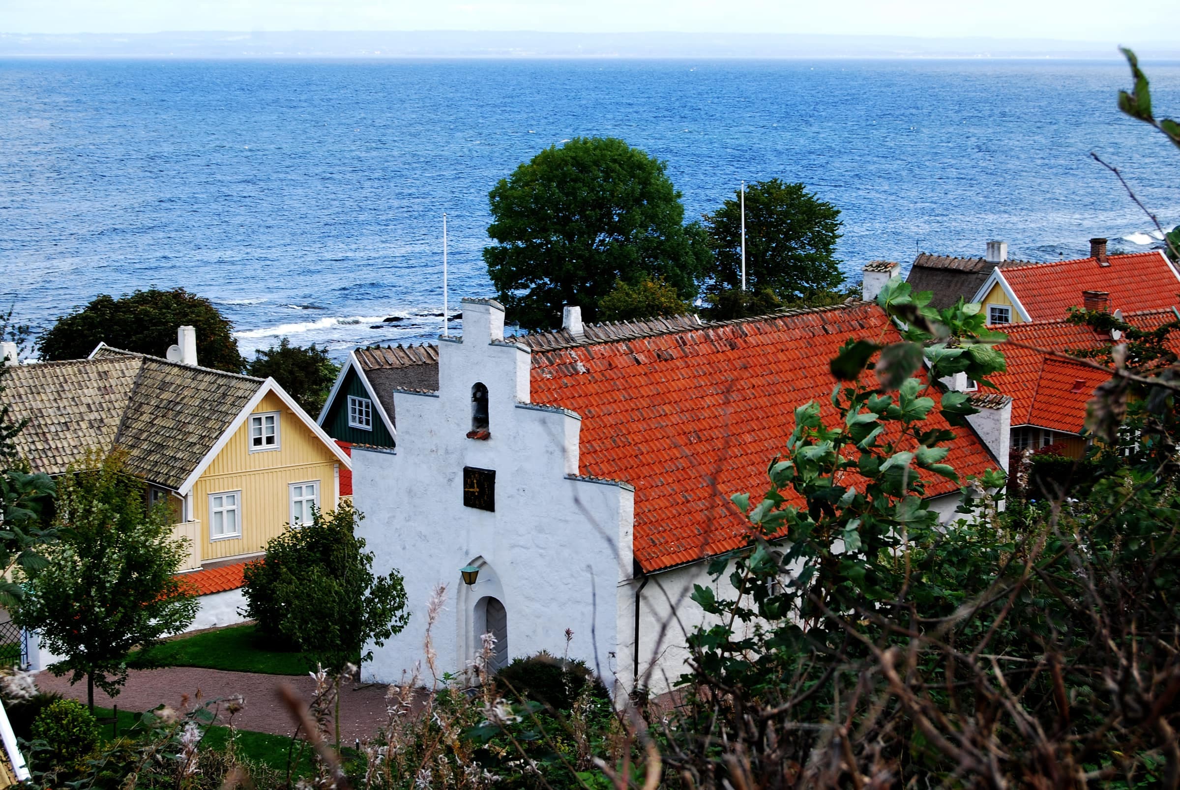
The Red trail is the southern and easier of the two main trails across Kullaberg. For about 9.6 km it follows the south slopes from Naturum Kullaberg by Kullen Lighthouse to Arild: over grazed heath with sea views, through wind-pruned oaks and tall beech forest, past the Mölle mosse wetland and the old farm at Himmelstorp. Länsstyrelsen, the county board, grades it moderate: mostly easy going, with a few short, hilly stretches. It suits families with some hiking experience.
Oaks on the heath above a cove, beside the trail a short way from the lighthouse
Photo: Zoeleonenamur · CC BY-SA 4.0A red waymark on a pine in Kullaberg nature reserve near Mölle, in autumn 2012
Photo: Guillaume Baviere · CC BY 2.0The route
Länsstyrelsen publishes the trail in two sections that meet at Aldal, on the northern edge of Mölle: about 4.1 km from the lighthouse (1.5–3 hours with stops and side trips) and 5.5 km on to Arild (1.5–4 hours). The whole trail is 3–4 hours of walking. Walk it in either direction, whole or one section at a time.
From naturum the trail runs south through a valley of black pines to the viewpoint on Åkersberget, then east over the heath past Kung Döses sten and the bog lake Kulla mosse. As far as Ransvik, Kullaleden's orange marks share the path. There Kullaleden keeps to the coast, while the Red trail climbs through beech forest past Barakullen to Aldal.
From Aldal the trail skirts the south side of Mölle mosse, partly on boardwalk, then follows broad forest roads past Björkeröd to Himmelstorp, its highest point, where it meets the Blue trail. Orange marks run with it again between Björkeröd and Himmelstorp and from the Bergahusen crofts on. The Red trail ends at the edge of Arild; follow the orange marks about 0.7 km on to the harbor. Yellow cross paths link it to the Blue trail for loops of almost any length.
Along the way
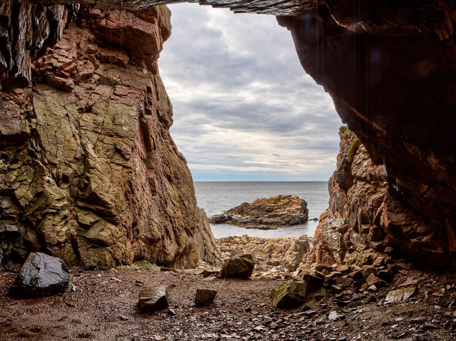
From the Åkersberget viewpoint, a steep path with a guide rope leads down to the sea cave Lahibiagrottan. Kung Döses sten is a boulder left by the ice, and Kulla mosse has sundew and cotton grass. Länsstyrelsen counts the oak scrub above Ransvik among Skåne's few places with a primeval-forest character, and wild garlic flowers in the ravine below in late spring. Ransvik, with a café in summer, lies about 150 m down from the trail.
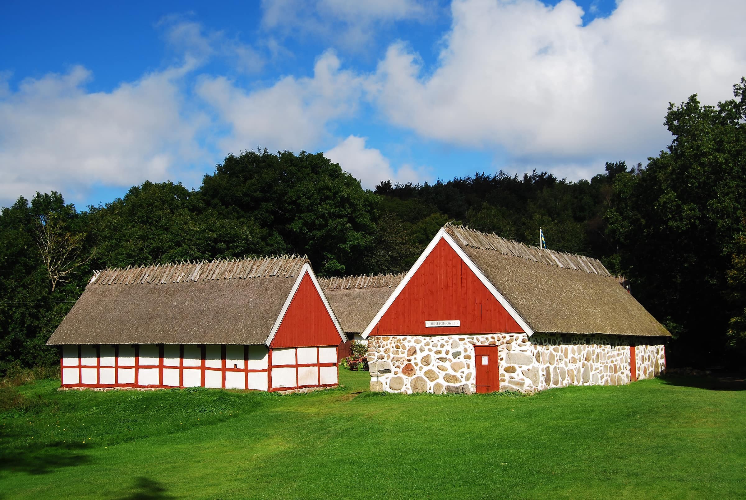
Barakullen, just off the trail, looks out over Mölle. Look for water lilies on Mölle mosse, and for birds of prey from the Enebacken viewpoint, a side trip from Björkeröd. Himmelstorpsgården's 19th-century farm buildings are listed, and Iron Age stone circles known as judge's rings stand in the woods nearby. Near Arild, the meadows of Strandhagen look out over Skälderviken bay to the Bjäre peninsula and Hallands Väderö.
Good to know
- Open all yearthe bird-protection zones, closed 1 March–15 July, are on the north coast, away from this trail
- Cliff edgesbetween the lighthouse and Mölle, stay back from the drops and keep children and dogs close
- Grazing animalssheep and cattle graze the heath: close gates and keep away from cows with calves
- Bikesthe marked mountain-bike trail crosses or runs near the eastern half, so you may meet riders
- Wheelchairsnot suitable, but loops for wheelchairs and strollers start at the Björkeröd car park