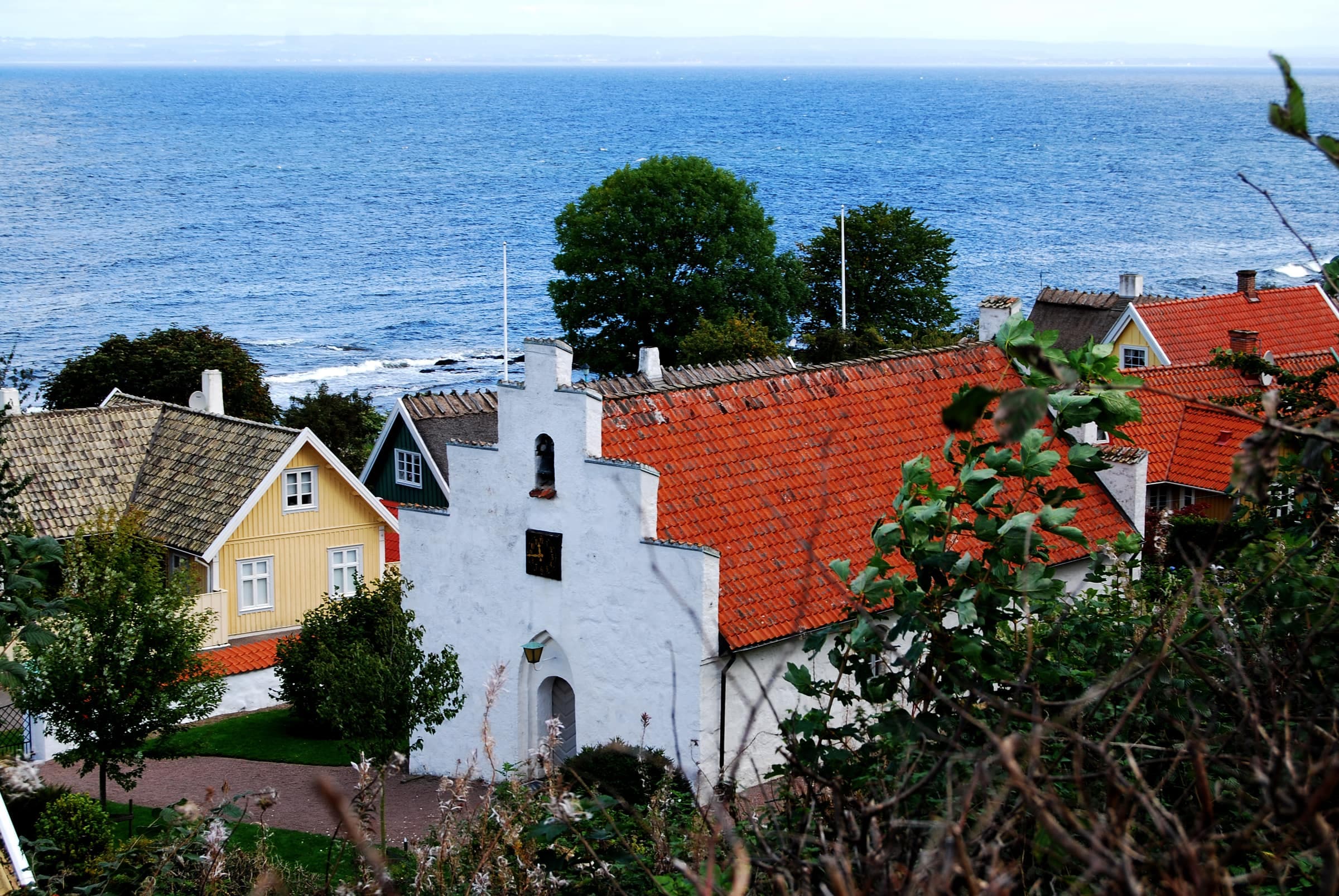
Kullaleden follows the coast around the Kulla Peninsula, past fishing villages, beaches, grazed heaths and the cliffs of Kullaberg. This stretch of Skåneleden runs about 70 km from Helsingborg via Höganäs, Mölle and Arild to Utvälinge: a U, not a loop. Most of it is gentle, but two stages are challenging: the Kullaberg crossing and the Landborgen escarpment into Helsingborg. Opened in 2013, it was Scandinavia's first Leading Quality Trail, a European certification it has kept since.
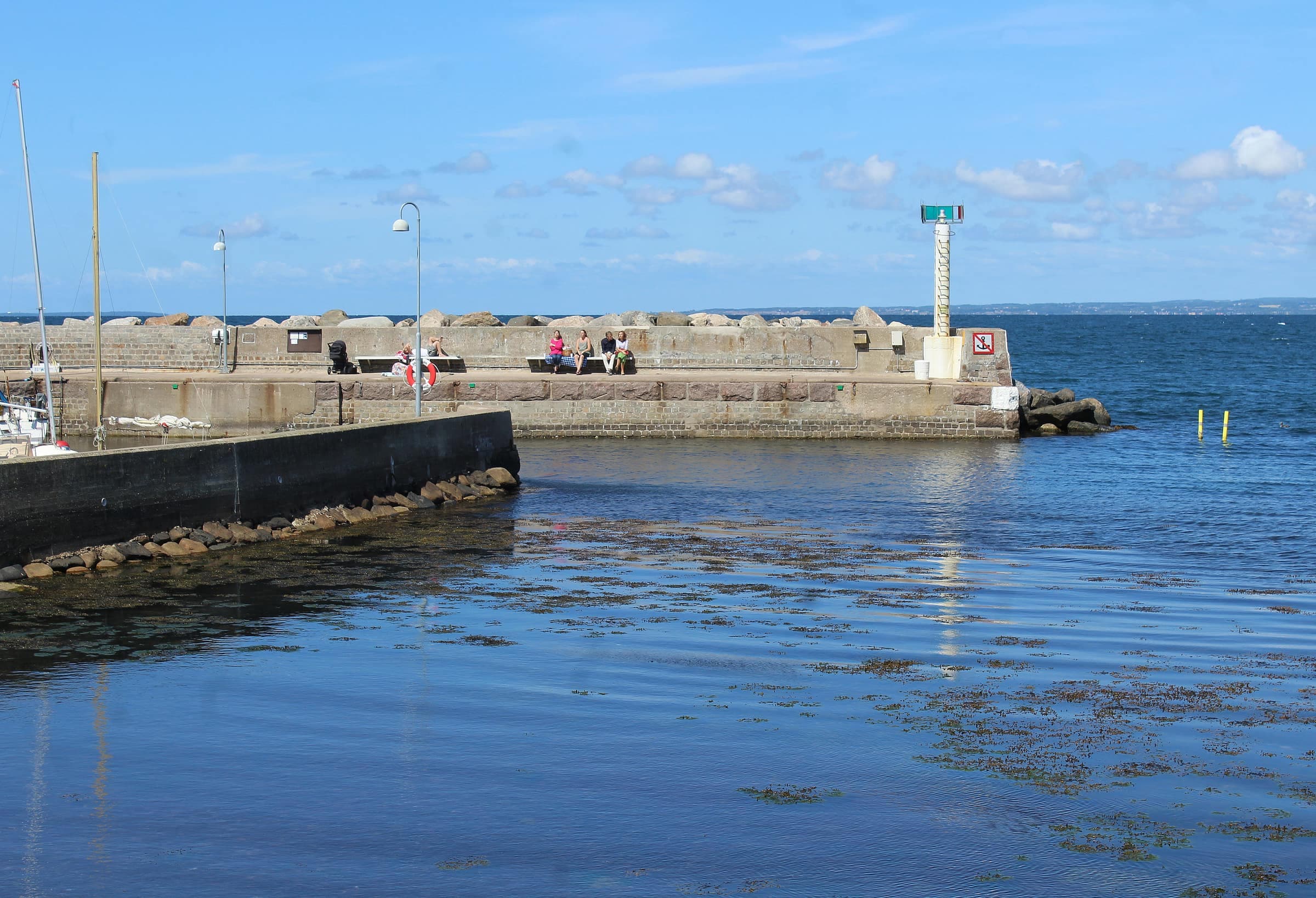
Walkers by the harbor in Svanshall, on the coast between Jonstorp and Arild
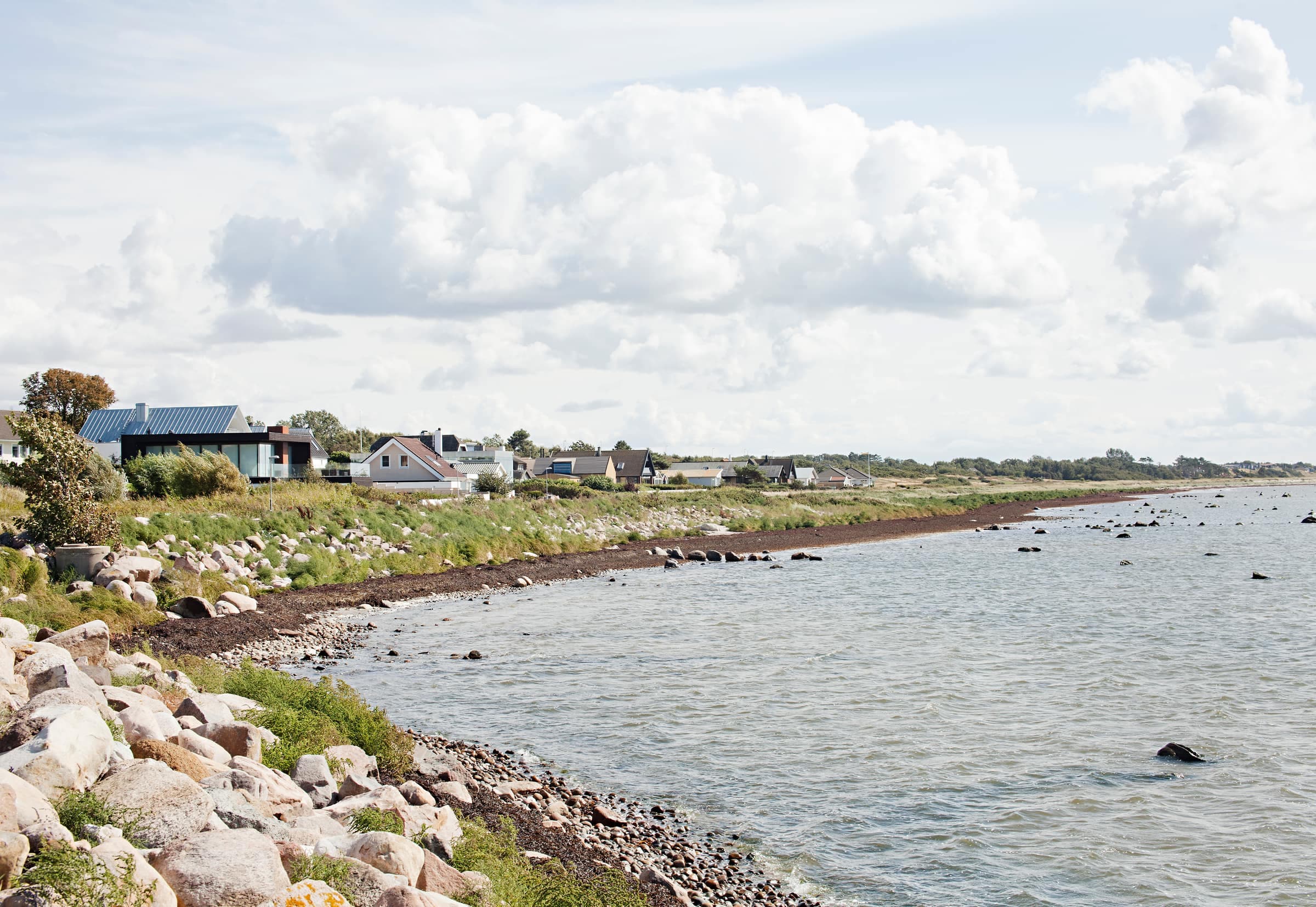
Photo: Guillaume Baviere · CC BY 2.0The rocky shore on Kullaberg's south side, with Mölle across the bay
Photo: Guillaume Baviere from Uppsala, Sweden · CC BY-SA 2.0A path across the shore meadow at Väsby strandmark, between Lerberget and Viken
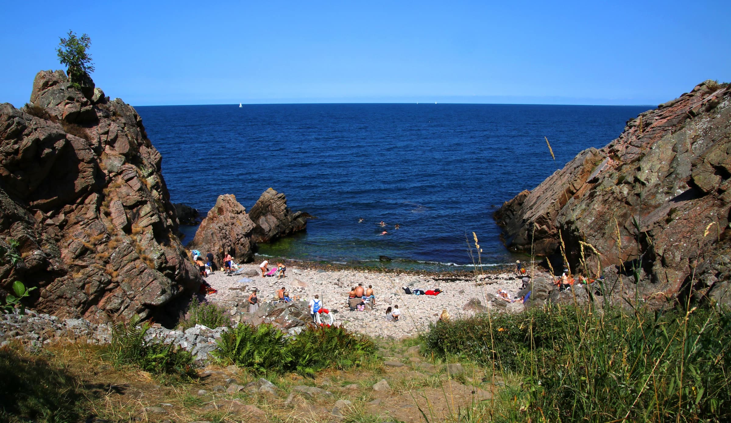
Photo: Jorchr · CC BY-SA 4.0Shingle shore at Lerhamn, with Kullaberg on the horizon
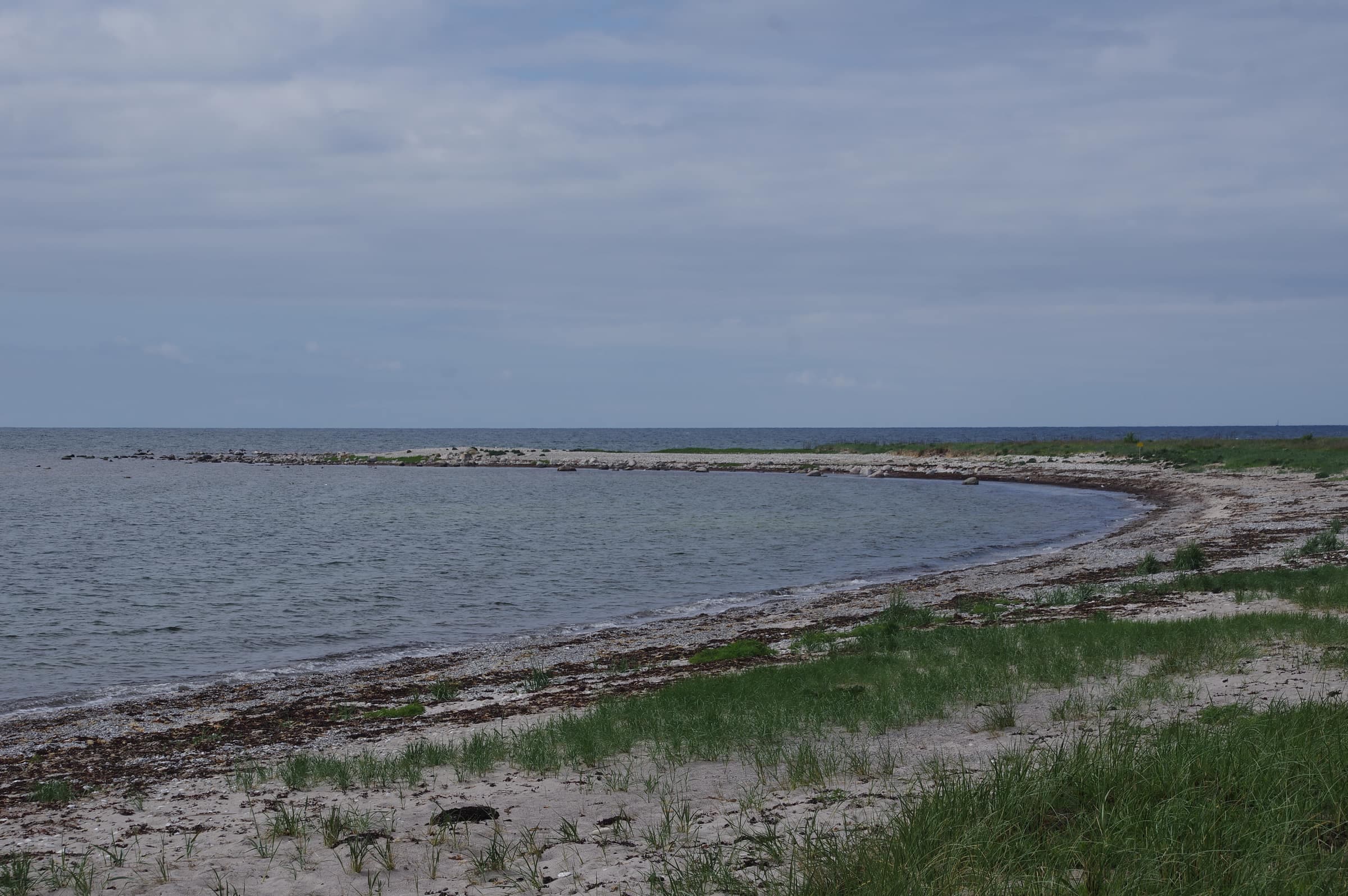
Photo: Nalle&Lisa · CC BY-SA 4.0Coastal heath at Möllehässle, south of Mölle
Photo: Guillaume Baviere from Stockholm, Sweden · CC BY-SA 2.0Stages
Skåneleden numbers its stages from Utvälinge, Höganäs kommun its sections from Helsingborg.
- 1 Utvälinge – Jonstorp (11 km, moderate, 3–4 hours)Along Skälderviken bay past the Vegeå mouth, the seal island Rönnen, Farhult's 13th-century church and a suspension bridge over Görslövsån. The Farhult–Jonstorp stretch can be very wet after heavy rain.
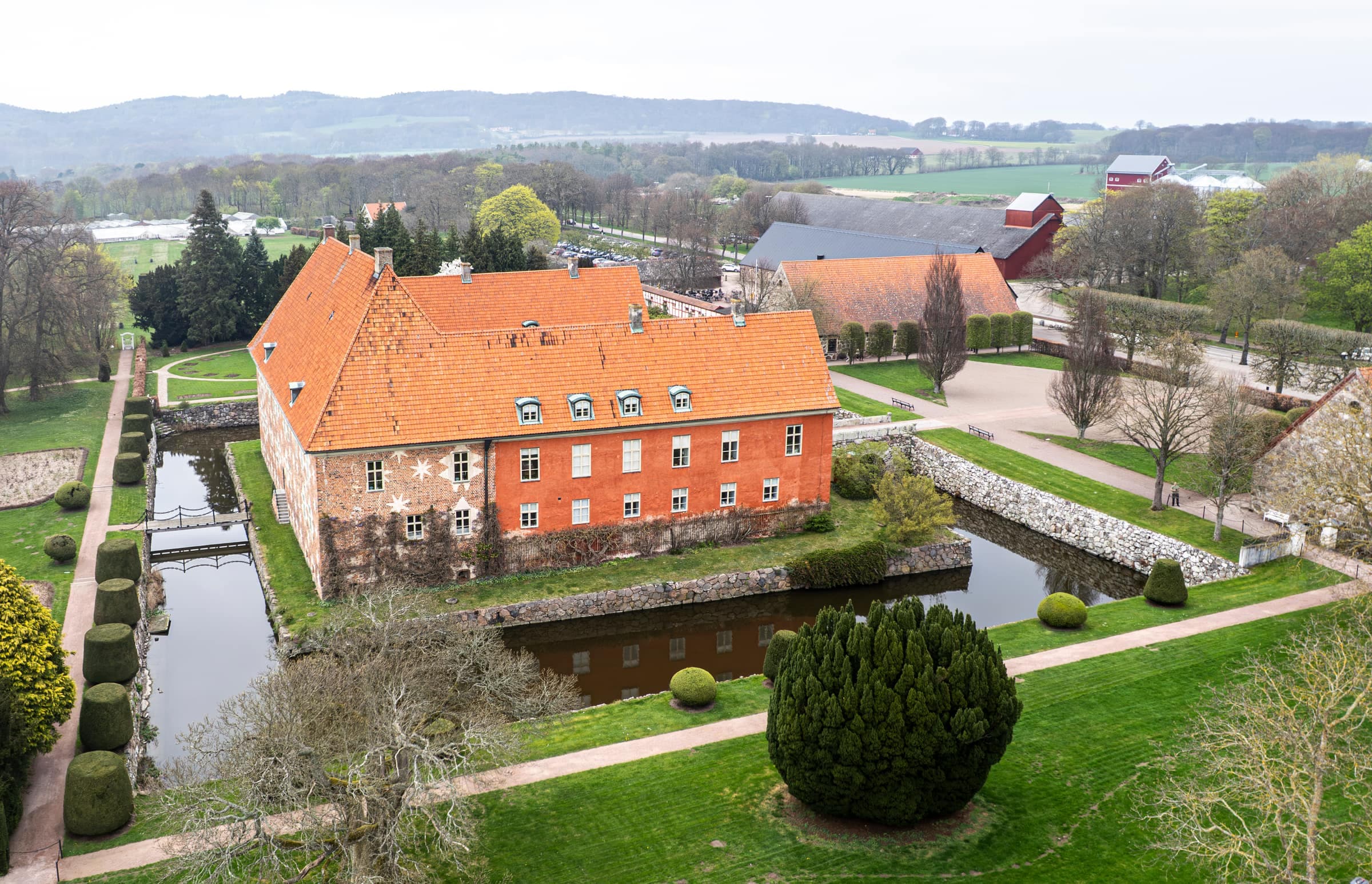
- 2 Jonstorp – Arild (9 km, moderate, 2–3 hours)Svanshall's water-filled quarry, the rocky shore of Bölsåkra-Tranekärr, a Kullaberg in miniature, and Nabben's Bronze Age mounds above Arild. Skäret's summer café, Flickorna Lundgren, is about 300 m off the trail.
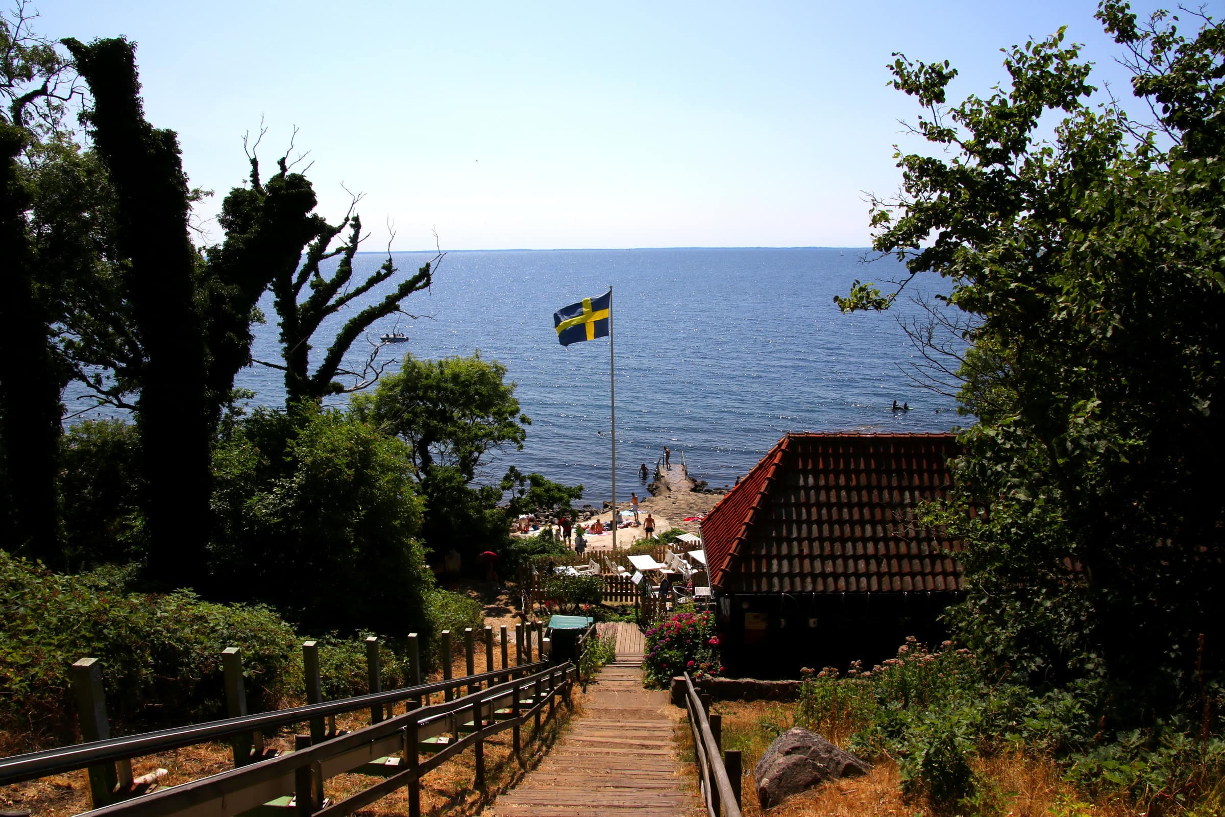
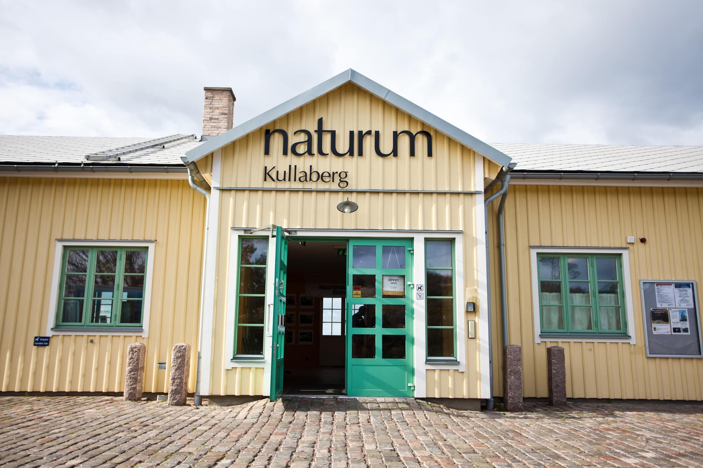
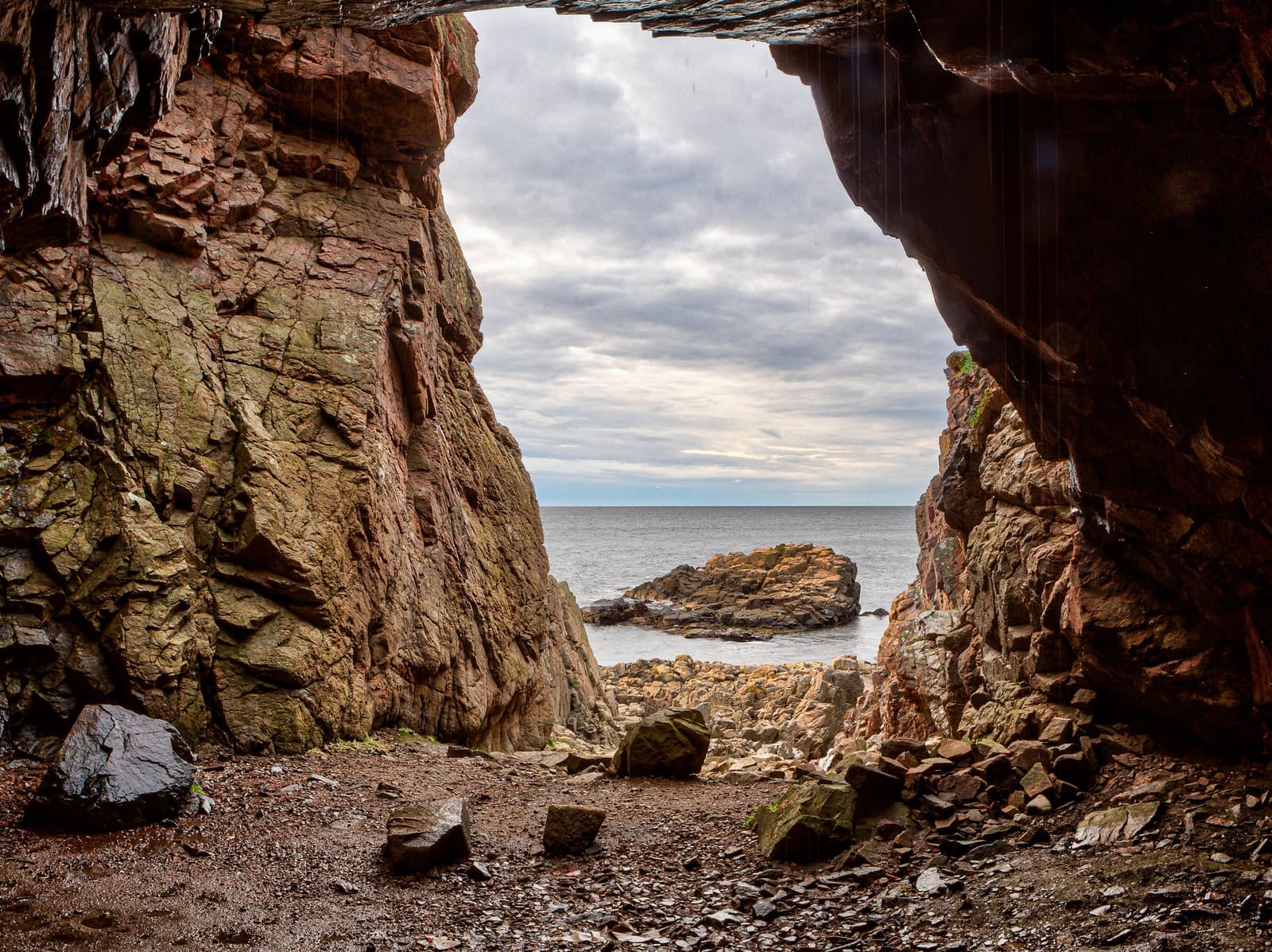
- 3 Arild – Mölle (16 km, challenging, 4–5 hours)The highlight: past Himmelstorp, along the north side with the Blue trail to Kullen Lighthouse and Naturum Kullaberg, back along the south side with the Red trail via Ransvik. Nimis is a steep one-hour detour.
- 3a Mölle – Himmelstorp (3–4 km, moderate, about 1 hour)A forest shortcut: Mölle–Arild becomes about 6–7 km, a loop from Mölle around the tip 17–18 km.
- 4 Mölle – Höganäs (12 km, easy, 3–4 hours)Flat, on the old railway embankment and coastal heath, past Krapperup Castle (a short detour), Lerhamn's harbor from the 1720s and Nyhamnsläge. KullaRulla, stage 4a, is the accessible alternative.
- 6 Domsten – Helsingborg (14 km, challenging, 4–5 hours)Along the Öresund and up the Landborgen escarpment, past Kulla Gunnarstorp Castle, Sofiero's rhododendron park and Sofiakällan, Sweden's only saltwater spring, to Kärnan.
Several days on Kullaleden
Tour operators sell it as four walking days, inn to inn, with luggage transfer; with shelters, allow five. Hotels, Höganäs Taxi and Travelshop move bags: book at least 48 hours ahead.
- 3 daysSkåneleden's weekend plan: Höganäs–Mölle, Mölle–Arild and Arild–Jonstorp (9 km), sleeping in Mölle and Arild; bus 224 or 225 home.
- 4 daysThe whole trail on beds: Helsingborg–Höganäs (about 22 km), Höganäs–Mölle, Mölle–Arild and Arild–Utvälinge (about 20 km), sleeping in Höganäs, Mölle and Arild.
- 5 daysThe whole trail with shelters: nights at Domsten (14 km from Helsingborg), Strandbaden, the tent site or Josefinelust, and Skäret; 12–18 km a day.
Beds. Höganäs: Köpmans Boutique Hotel and Fridas Hotell. Mölle: Grand Hôtel Mölle, Hotel Kullaberg and Villa Välkommen; Kullagård Hotell is on the trail near the lighthouse. Arild: Strand Hotell, Rusthållargården and Arilds Vingård. Near Jonstorp: Villa Kullaberg by the trail and, 1 km off, Bläsinge Gård's farm campsite and hostel rooms. Campsites: First Camp Mölle–Höganäs (with cabins, 1 km off stage 4), Visit Örestrand at Strandbaden and Lerbergets Camping.
Shelters. Free, first come, first served: Domsten (2), Strandbaden (2), Josefinelust (2), Himmelstorp (3), Skäret (one for 8, hikers on foot only) and a large one for about 12–20 people at Farhult. Most ban tents; Kullaberg's tent site at the lighthouse car park takes about eight.
Food and water. Mölle and Arild have no grocery store: stock up in Höganäs, Nyhamnsläge or Jonstorp. Most trail taps run April–October, harbor taps all year. Treat the water at Josefinelust.
Getting back. Bus 225 links Utvälinge with Ängelholm station: hourly on weekdays, every two hours on Sundays (October 2026). Arild, Skäret and Svanshall rely on bus 223, with gaps of several hours; no bus serves Himmelstorp, and bus 202 reaches the lighthouse only in summer.
Good to know
- No wild campingEvery coastal reserve along the way bans tents, and Höganäs kommun bans sleeping outdoors in its nature areas and bathing places.
- ClosuresSigned zones close, but not the trail: Kullaberg's north-coast bird zones and paths down to the shore 1 March–15 July, and at the Vegeå mouth Rönnen and western Sandön all year, other marked zones in spring and summer. The tip of the point at Nyhamnsläge–Strandbaden is closed 1 April–15 July.
- WorksThe trail is diverted just north of Grå Läge (stage 5) until about late November 2026; erosion works south of Nyhamnsläge harbor may affect it until spring 2028. Check Skåneleden's trail status.
- DogsOn a leash in the reserves (all year on Kullaberg) and everywhere 1 March–20 August. Höganäs kommun bans them from its listed bathing beaches 15 May–15 September.
- FiresOnly at fixed fire places, never during a fire ban. On Kullaberg even camping stoves are limited to the grill sites at the lighthouse car park, Josefinelust, Björkeröd and Himmelstorp.
- Stage 3Steep, stony and rooty, with stairs, and handrails or ropes in places along cliff edges; slippery after rain, and winter days are short.