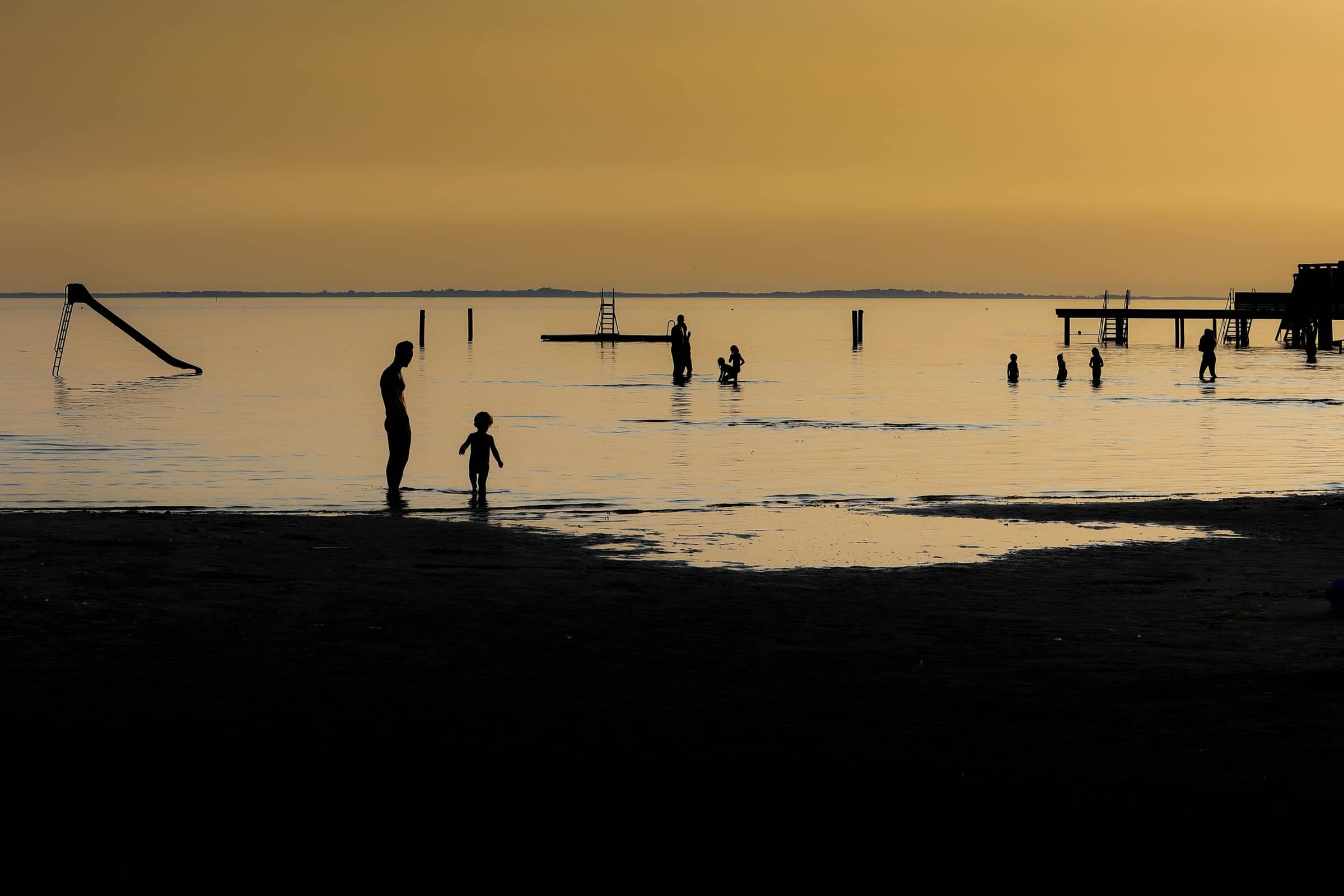
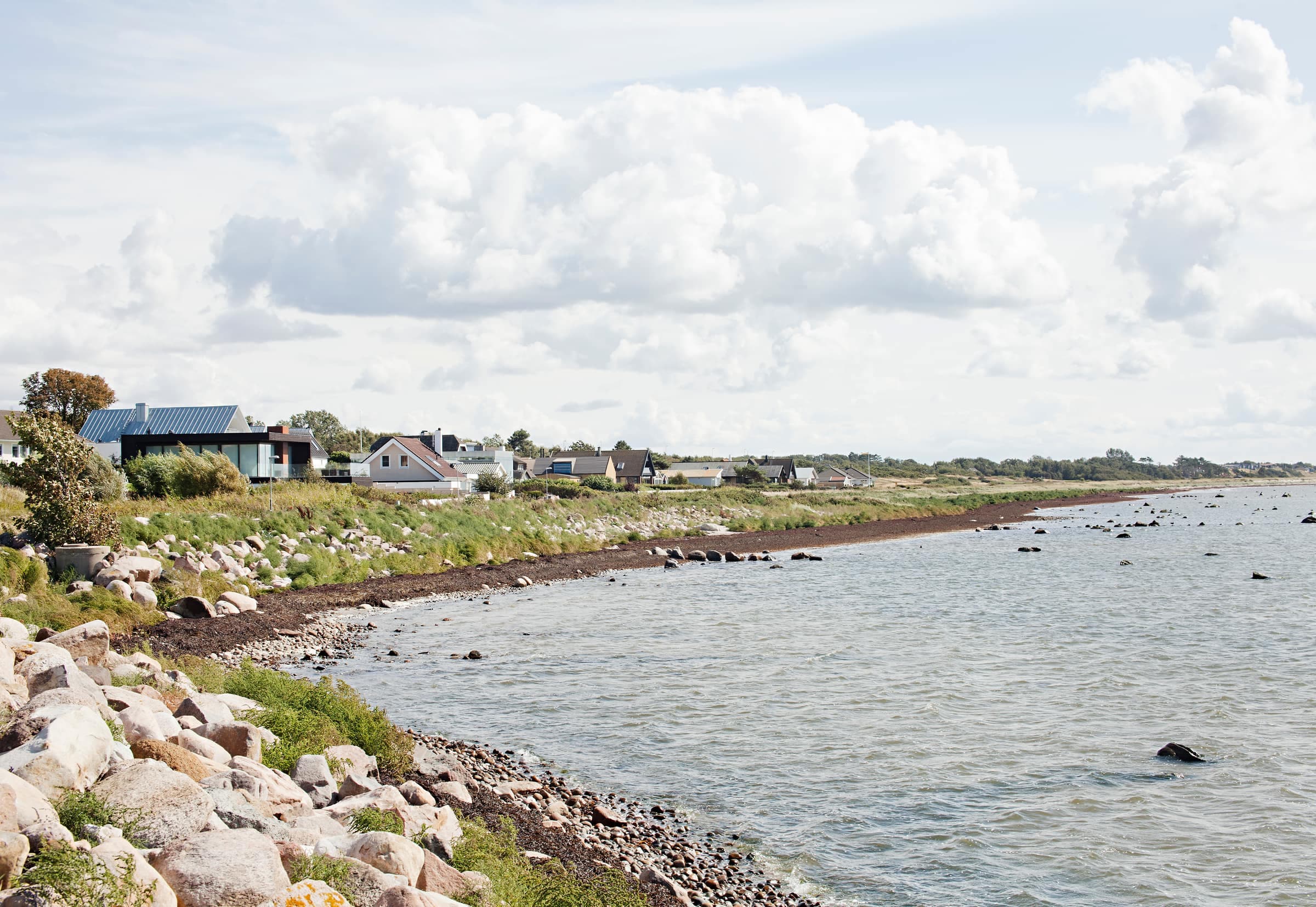
Hälsans stig (the Health Path) is a signposted 8 km loop through Höganäs. A sign marks every kilometer, so you can start wherever you like and count your own distance. The loop follows existing footpaths and sidewalks and avoids stairs and steep slopes, so it is an easy walk all year. The highlight is the long stretch along the Öresund shore, with good bathing on the way. The idea comes from Riksförbundet HjärtLung, the Swedish heart and lung association, and Höganäs municipality looks after the loop, which opened in 2006.
The shore promenade by Kvickbadet in Höganäs
Photo: stillbild · CC BY-SA 2.0Reclining benches on a deck by the water at Höganäs harbor
Photo: Per-Olof Forsberg · CC BY 2.0The route
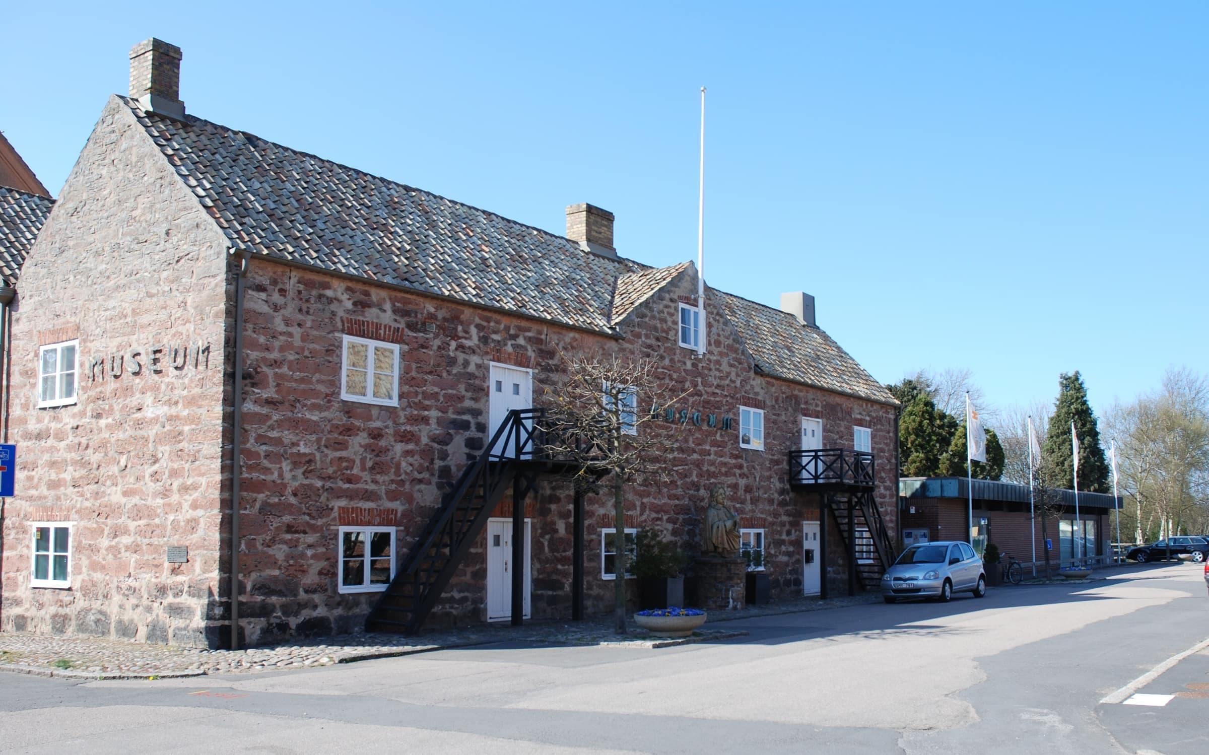
The municipality describes the loop from the small-boat harbor. It heads south along the shore past Kvickbadet, the town beach, to Lerbergets Camping in Lerberget, a stretch it shares with Kullaleden and KullaRulla. There it turns inland past the campsite and the car park at the entrance to Lerbergsskogen, goes under road 111 and runs north past the swimming and sports hall and an outdoor gym. It continues through Nymbergs park and Tivoliparken, with its lookout tower, east to Prins Carlsgatan by the KKAM museum, and then west along the foot and cycle path on the old railway line, also part of KullaRulla, to Sundstorget and back to the harbor.
Along the way
- The shoreabout 2.5 km along the Öresund from the harbor to Lerberget, with sandy beaches at Kvickbadet and by the campsite
- Lerbergsskogena small pine wood, a nature reserve since 2024; for a longer walk, its lit 1.25 km exercise loop is a short walk in from the car park on Östra Vägen
- Tivoliparkena park with a lookout tower and a playground
- The old railwaythe last stretch follows the former railway line through town
Good to know
- Signsthere is no color code, but signs mark each kilometer and information boards show the loop; bring the map, which you can pick up at the small-boat harbor, the swimming and sports hall or the town hall
- Shorter walksthe municipality also lists 4 and 5 km options, and with the kilometer signs it is easy to walk part of the loop and cut back through town
- Dogson a leash at the bathing places, at playgrounds and in Lerbergsskogen; the bathing places (15 May–15 September) and the exercise loop (all year) are off-limits except to cross on a leash
- Bikesthe old railway path is a shared foot and cycle path, so watch for cyclists