The Yellow cross paths are Kullaberg's shortcuts: about 6 km of short paths, most linking the Red trail on the southern slopes with the Blue trail along the northern cliffs. Go out on one, cross on a yellow path and return on the other: the loop is as long as you like. Each link takes a few minutes to about half an hour. Länsstyrelsen recommends the Red trail and the yellow paths for small children, as the Blue trail runs closer to the cliff edges.
Tall beech forest near Josefinelust on western Kullaberg
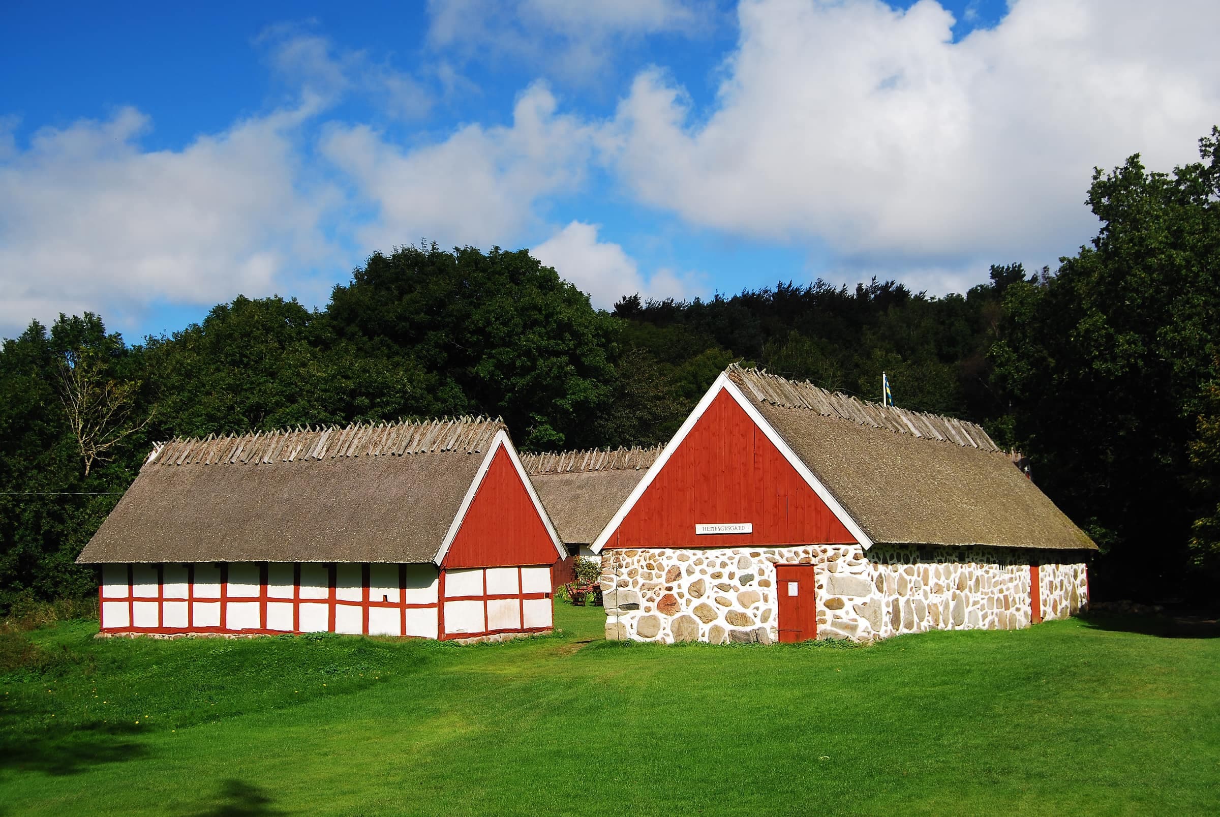
Photo: Michael Fiegle · CC BY-SA 4.0Ransgården, the old Kullagården farm, on the golf course that a yellow path crosses
Photo: Peterappelros · CC BY 3.0Where the yellow paths run
- Fyrparkeringen0.3 km down to the Red trail at Åkersberget, and 0.7 km beside Italienska vägen to Golfparkeringen
- Golf coursea 0.3 km gravel road from the Blue trail by Kullagården to the Red trail near Kulla mosse
- Josefinelust0.8 km from the Red trail above Ransvik, past the car park, to the Blue trail on the cliffs
- Djupadal0.7 km from the Blue trail down to the Red trail at Aldal, on Mölle's northern edge
- Ona mossethe longest link between the trails, 1 km from the Blue trail by this small bog down to the Red trail at Mölle mosse
- Håkulls mosse0.7 km from the Blue trail down to the Red trail near Björkeröd
- HimmelstorpLänsstyrelsen's map also shows a 1.3 km path from Fornåkersvägen, near Kockenhus, up to Himmelstorp, mostly along Kyrkstigen
Good loops
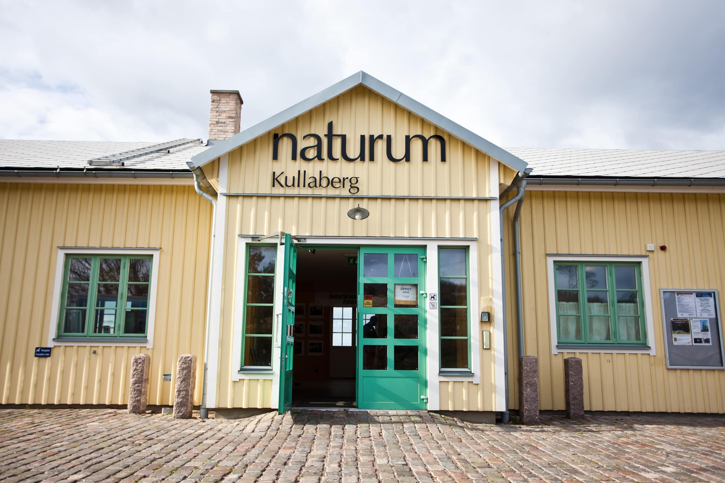
- Two family loops, 1.5 or 2.7 kmfrom Naturum Kullaberg, take the Red trail to Åkersberget and the yellow path up to Fyrparkeringen, or go on past Kulla mosse and back over the golf course; 1–1.5 or 1.5–2 hours with children
- The lighthouse loop, about 6 kmthe Red trail from Naturum Kullaberg to the beech woods above Ransvik, the yellow path past Josefinelust, then the Blue trail back along the cliffs: about 2–3 hours, 3–4 with children
- From Mölle, about 9.5 kmKullaleden along the coast to Ransvik and the lighthouse, the Blue trail east along the cliffs, then the yellow path at Djupadal, signposted to Mölle, back down
Along the way
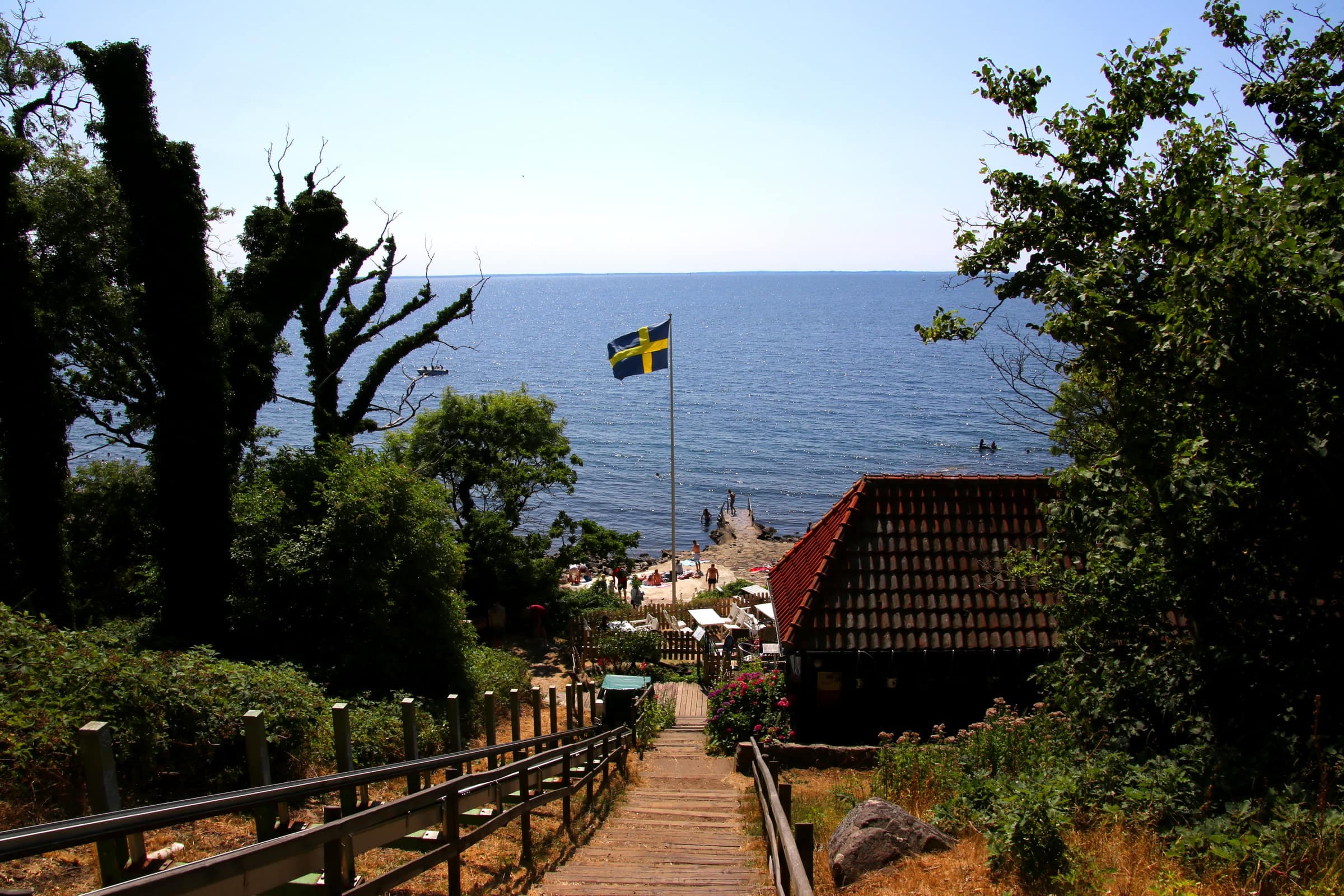
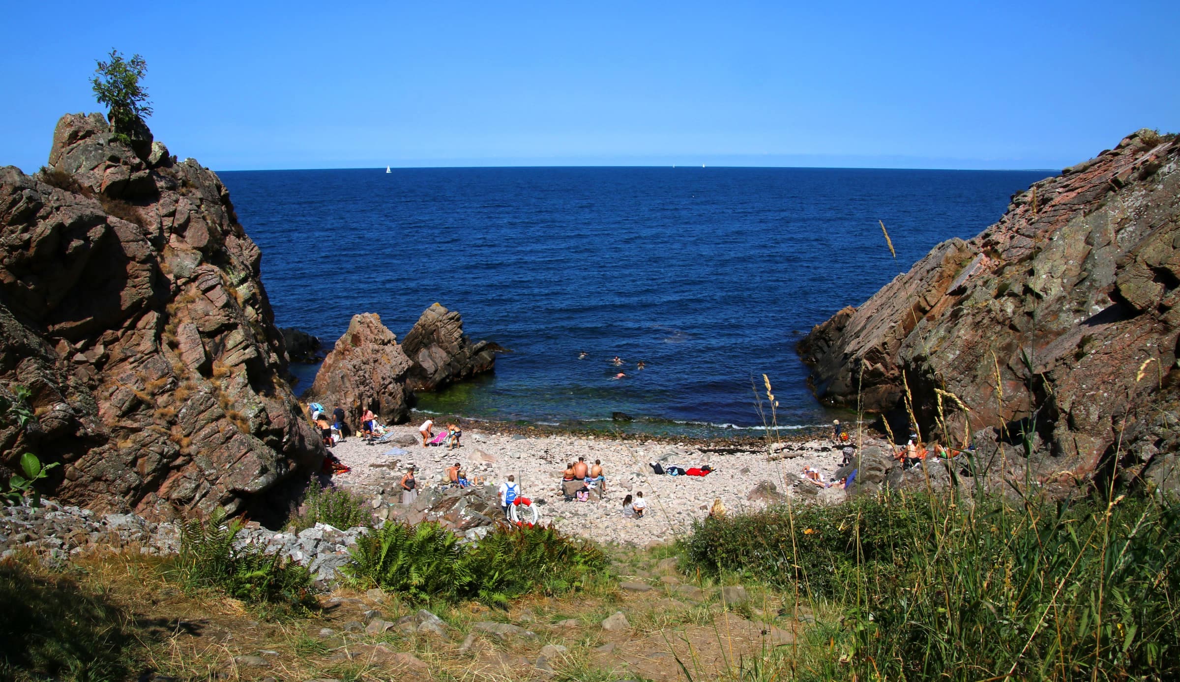
In spring, wood anemones carpet the beech woods above Ransvik, where the path to Josefinelust begins. In the mid-1800s, when tourism on Kullaberg began, the open ground at today's Josefinelust car park was its main meeting place. From there a restored 19th-century stair leads down a ravine to a pebble cove with three caves, about 45 minutes there and back. Just east of the car park lies Hjorthagen, a meadow where red deer were kept from 1936 until 2005, when storm Gudrun felled trees onto the fence and they escaped. Their descendants still roam Kullaberg.
In summer, water lilies dot Mölle mosse, where the Ona mosse path ends.
Good to know
- Closuresnone on the yellow paths; signed bird zones on the north coast close 1 March–15 July, but the Blue trail stays open
- Terrainsome links are steep; keep to the path by Ona mosse and Håkulls mosse, where firm-looking ground can hide deep mud
- Rulesdogs on a leash all year; fires and camping stoves only at the fixed grill sites, never during a strict fire ban; no cycling on the paths except the marked mountain-bike route in the east
- Accessnot built for wheelchairs or strollers; the purple, white and black loops at Björkeröd are