Arildslingan, the Arild loop, is Höganäs municipality's 4.8 km walk through all of Arild: the lanes of the old fishing village, its medieval chapel, the harbor and the shore out to Nabben. It is easy going on lanes and shore paths; allow about 1.5 hours. The municipal map of the loop also marks bathing spots along the shore, so bring a swimsuit on a summer day.
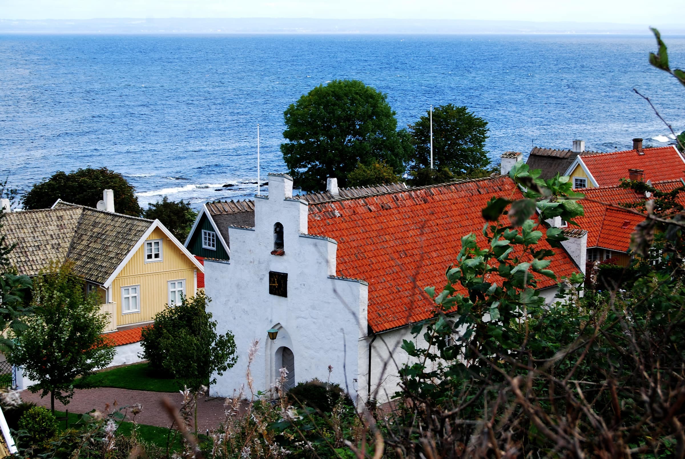
Arild's medieval chapel behind its whitewashed churchyard wall on a frosty December day
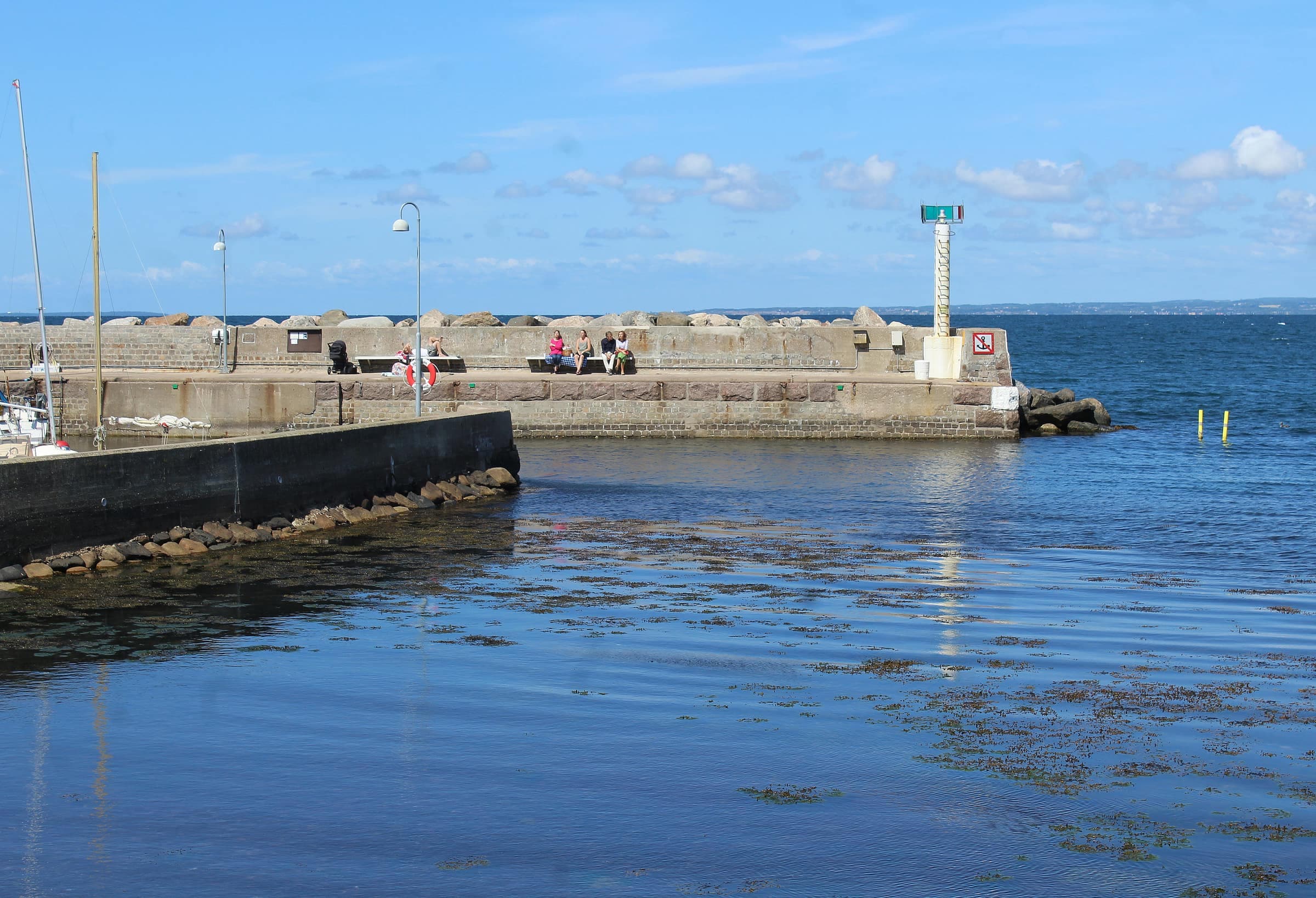
Photo: Magnus Bäck · Public domainArild's small harbor, with the village on the slope behind, on an autumn day
Photo: Guillaume Baviere · CC BY 2.0The route
Start at Arild Bussplatsen, the bus square with parking and an information board. The loop passes the chapel, then winds through the village lanes to Snogalien, its north-western tip. There it turns back along the shore, past Strandhagen and the harbor, and follows the coast east to Nabben.
From Snogalien to Nabben, about 1.8 km, it runs on Kullaleden, so you'll see orange markers. At Strandhagen the Red trail comes down from Kullaberg to end at the harbor. At Nabben the loop leaves the coast and heads south with Nabbenslingan for a few hundred meters, then turns west through the residential streets back to the bus square. The municipal map also shows an alternative route through Kringelängen, in the western part of the village.
Along the way
Arild's white chapel, first mentioned in a papal letter of 1475, is Skåne's only medieval fishing-village chapel. In the shore meadow at Strandhagen, a small nature reserve just west of the village, the racks where fishermen once dried their nets still stand. East of the harbor, Nabben nature reserve is a remnant of Kulla fälad, the old common grazing land. Its banks of rounded stones were left by the Littorina Sea when the shoreline stood higher than today, and from the Bronze Age burial mounds of Nabbahögarna you get a fine view back over Arild. Eiders and oystercatchers are often seen here, and you may find early purple orchids on the lime-rich pastures.
Good to know
- WaymarksHöganäs municipality doesn't describe the loop's own markers, so keep a map handy where it leaves Kullaleden.
- Dogskeep them on a leash in Strandhagen and Nabben nature reserves, and off the municipality's listed bathing beaches 15 May–15 September.
- Reserve rulesno tents in either reserve; at Nabben, no fires or grills, and no drones below 120 m.
- Busesfew buses serve Arild, so check your return trip in Skånetrafiken's journey planner before you set out.
- Seasonyou can walk the loop all year.