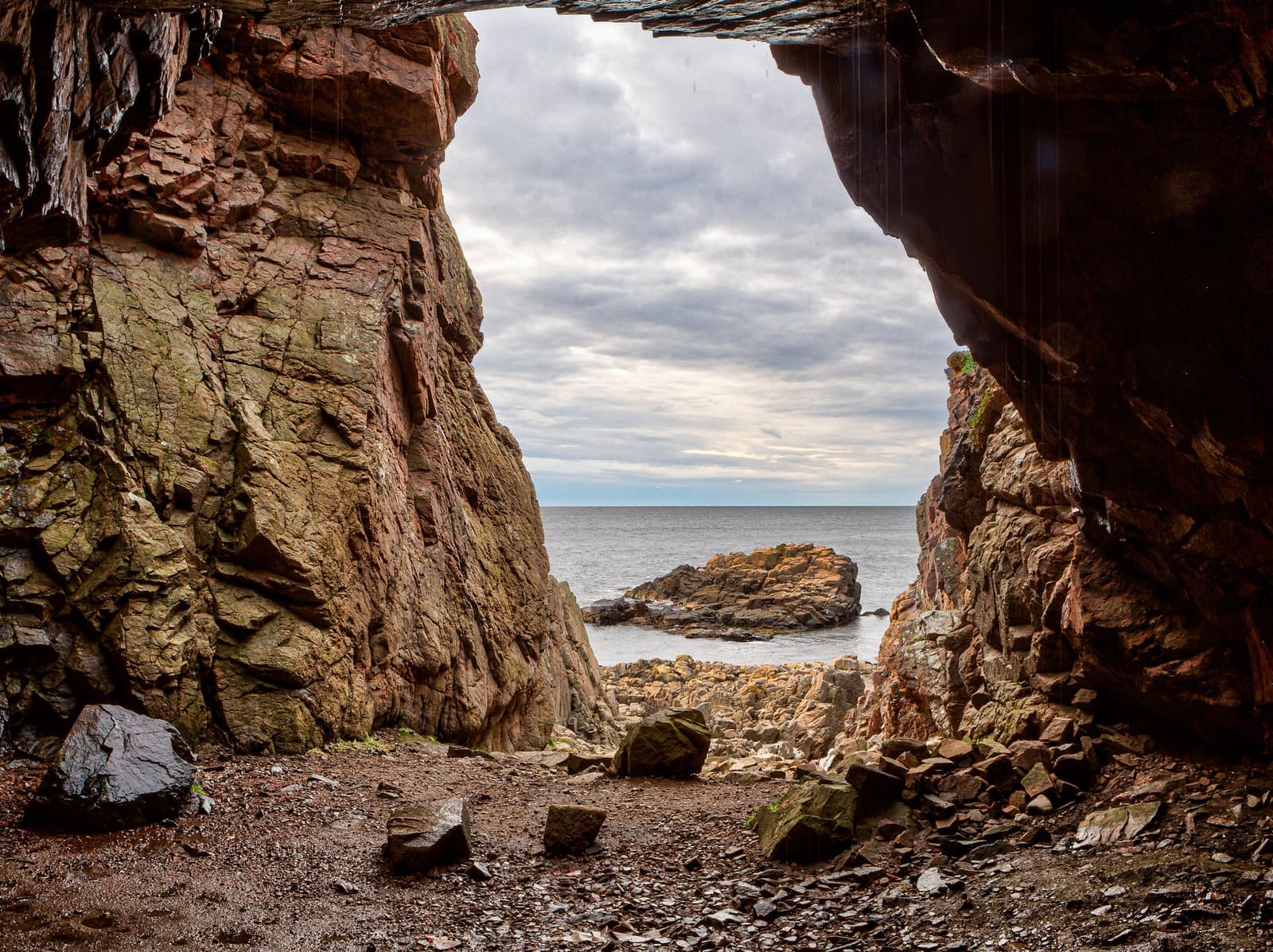
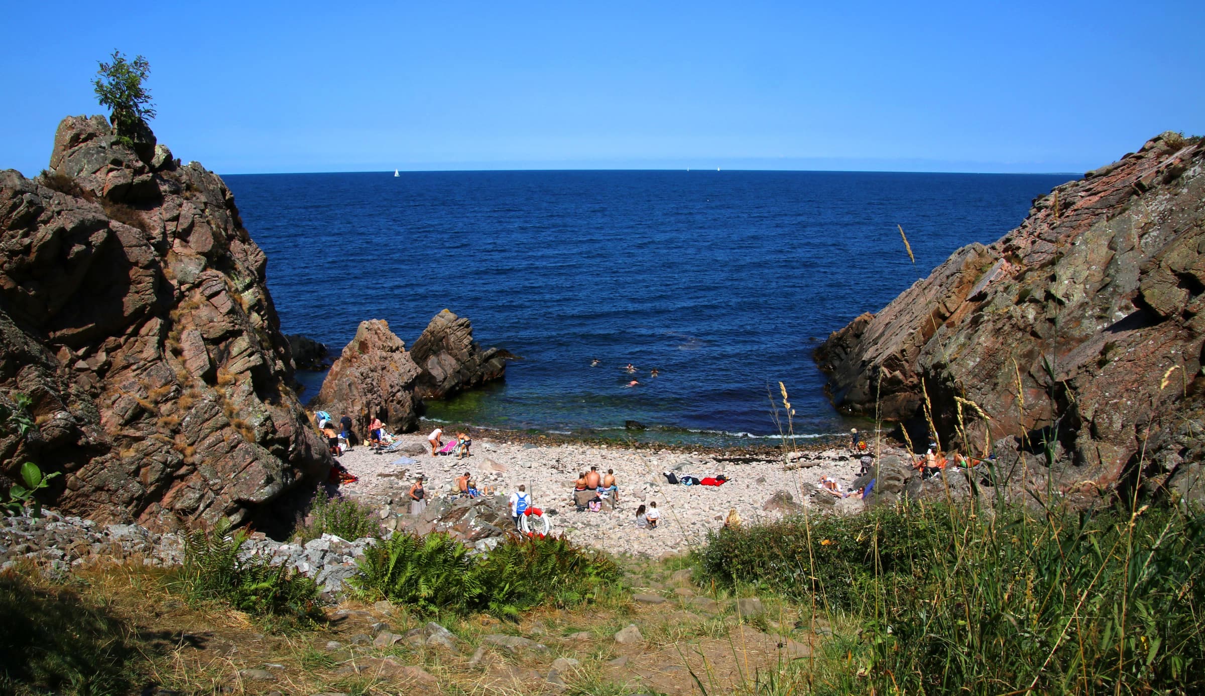
The Blue trail follows Kullaberg's north side, where the cliffs drop straight into the Kattegat. Over about 8.6 km from Kullen Lighthouse to Himmelstorpsgården, it passes coves for a swim, sea caves and the reserve's highest tops. Länsstyrelsen grades it challenging: the path is narrow, hilly and stony, with many steep descents. It suits experienced hikers; the Red trail, on the south side, is easier.
Looking down Palnatokes skränt to a boulder beach near Kullen Lighthouse, where the Blue trail starts
Photo: Peterappelros · CC BY 3.0The view from the top of Håkull, Kullaberg's highest point, over wooded slopes and the sea
Photo: Guillaume Baviere · CC BY 2.0Remains of three brick survey pillars from around 1900 on the summit of Håkull
Photo: Lars Nilsson · CC BY 2.0The route
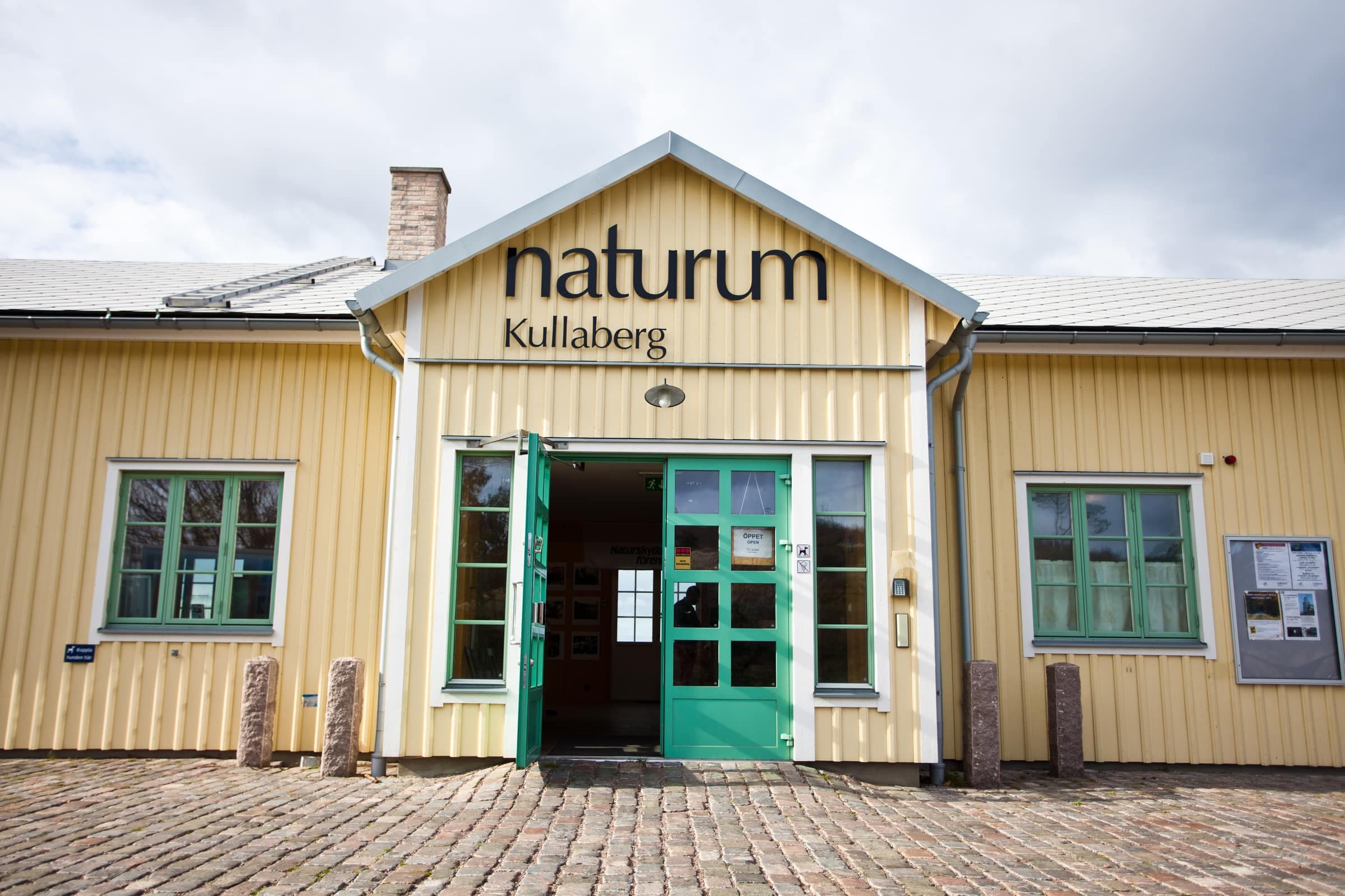
From Naturum Kullaberg the trail heads east along the cliff tops. The first 2 km, to Josefinelust, are the easiest. At the Djupadal ravine, about 3 km from the lighthouse, begins what Länsstyrelsen calls Kullaberg's hardest stretch. Keep to the path at Ona mosse: the floating bog around the mire looks firm but isn't. The trail then climbs over Gregers backar and Håkull and drops to Himmelstorpsgården, where it meets the Red trail to Arild, about 2.5 km on.
Kullaleden's orange markers share most of the way. Yellow cross paths at Josefinelust, Djupadal, Ona mosse and elsewhere lead south to the Red trail and Mölle, so the walk is easy to shorten.
Along the way
- Silvergrottana steep side trip below the lighthouse to a mine adit about 15 m deep, dug in 1561 in search of silver
- Ablahamnsteps down to clear water, a favorite with snorkelers and divers; porpoises are sometimes seen here
- Josefinelusta restored 1800s stair down to a boulder beach and caves, among them Trollhålet, Kullaberg's longest known cave
- Djupadalsteps down a deep ravine to a cove of many-colored cobbles; closed 1 March–15 July
- Gregers backara near-360° view over Skälderviken bay and the Bjäre peninsula, and a memorial plaque to four young pilots whose Vampire jets flew into the hillside in thick fog on 4 March 1956
- HåkullKullaberg's highest point at 188 m, with remains of three brick survey pillars from around 1900 and, on clear days, a view to Hallands Väderö
- Sadelna 167 m top, reached by a short side trip through old, moss-covered woods
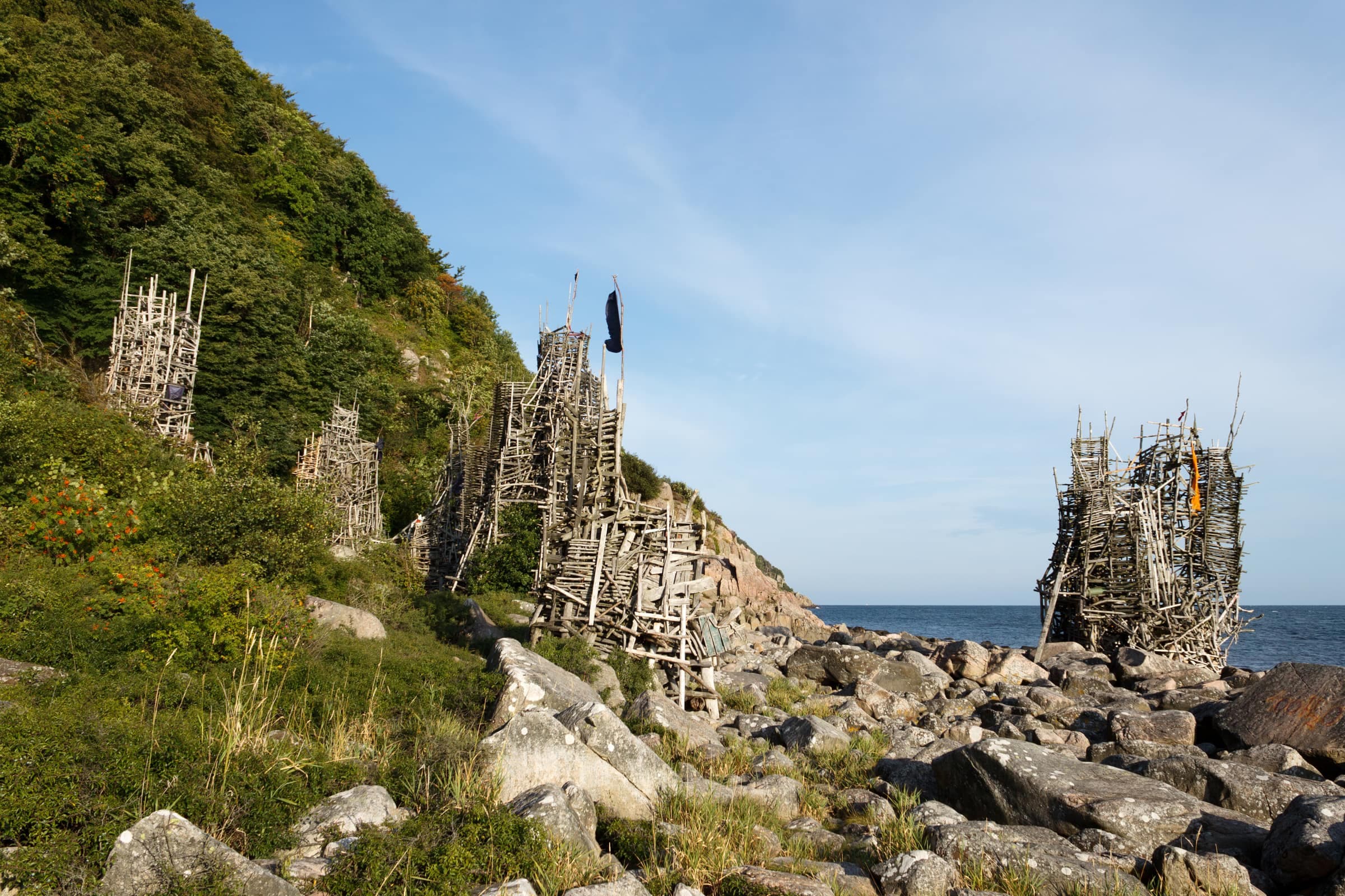
Near the east end, N's painted on trees mark a steep, unofficial path down to Nimis, Lars Vilks' driftwood sculpture; go at your own risk. In summer the garden at Himmelstorpsgården usually opens as a café.
Good to know
- Bird closuresfrom 1 March to 15 July, two stretches of the north coast are closed for nesting birds such as the peregrine falcon: around Skårenäs and Visitgrottan, and from Djupadal to Valdemarsgrottan. The zones lie seaward of the trail, but the paths down into them (to Visitgrottan and Söftingsgrottan, and down the Djupadal ravine) are signed and cordoned off.
- Safetydrops line the whole trail: keep back from the edges and keep children and dogs close. Rock, roots and steps get slippery when wet or icy, so wear sturdy shoes. Signposts carry numbered rescue points: in an emergency, call 112 and give the nearest number.
- Waterthe only drinking water is at Naturum Kullaberg (open 1 May–1 November in 2026), so carry enough.
- Rulesdogs on a leash all year; fires and camping stoves only at the fixed grill sites, never during a strict fire ban.
- Best timespring brings birdsong and wild garlic, autumn golden beech woods and fewer people.