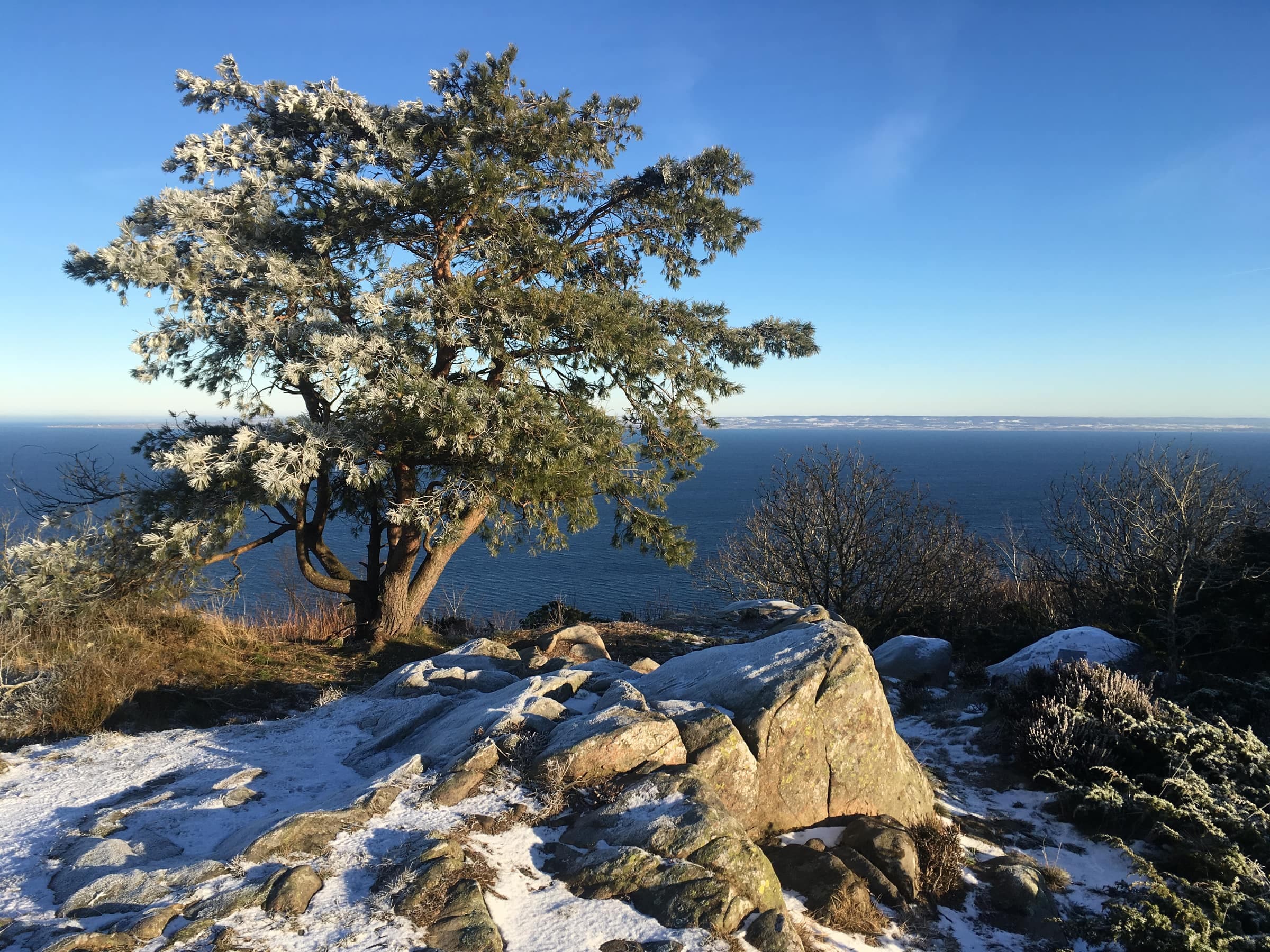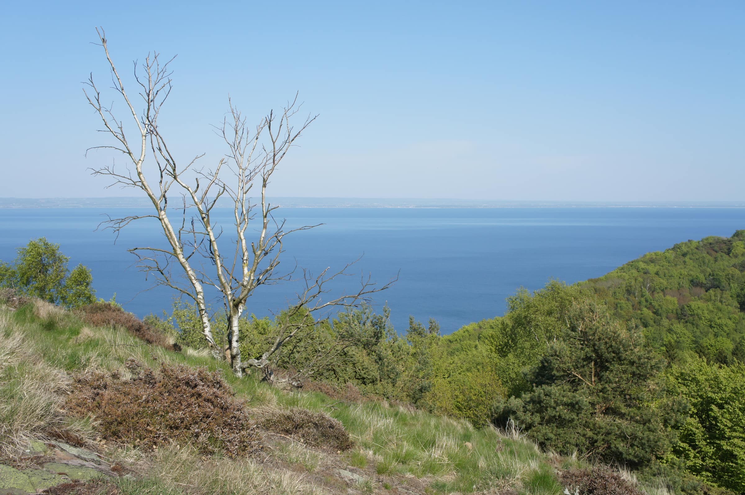
Håkull is the top of Kullaberg, 188 meters above the sea. From the bare rock on the summit you look out over Skälderviken bay to the Bjäre peninsula, and on a clear day as far as Hallands Väderö and the Danish coast. Turn to the southwest and the Öresund and Denmark come into view. The Blue trail crosses the top, and Länsstyrelsen names Håkull, with Nimis and Himmelstorpsgården, as the main draws of eastern Kullaberg.
Two of the three brick pillars left from a survey network of around 1900, on the top of Håkull
Photo: Lars Nilsson · CC BY 2.0Looking south from Håkull past Höganäs to the Öresund and the Danish coast
Photo: Guillaume Baviere · CC BY 2.0On the top
- Survey pillarsthe remains of three brick pillars from a triangulation network used for mapmaking around 1900; Lantmäteriet's map still marks a survey point here
- Inscriptionwhite-painted letters in the rock, about 20 meters north-northeast of the survey point, record light measurements made in 1950 between Håkull and Knösen, the Bjäre peninsula's highest point, across the bay
- Ice-age scratchesglacial striations in the rock run in at least two directions: the ice sheet crossed the ridge more than one way
- Heathheather and grass among the juniper are what is left of the open, grazed heath that spread over Kullaberg after its forest was cut in the 1500s and 1600s
There are no prehistoric graves up here. Bronze and Iron Age graves are plentiful lower down, around Björkeröd and Himmelstorp, but none were built on the high tops of eastern Kullaberg, which Länsstyrelsen thinks was a deliberate choice.
Getting there
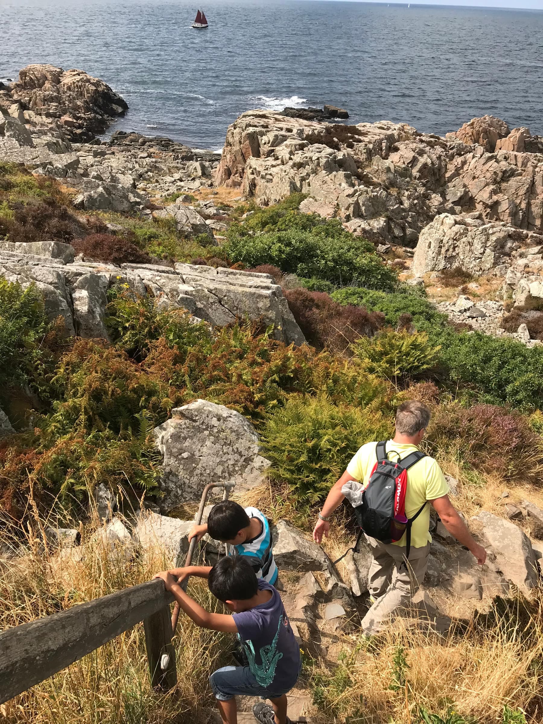
Start at the free car park at Himmelstorp: walk up past the farm to the Blue trail and follow it west, about 2.6 km each way. This is part of what Länsstyrelsen calls Kullaberg's hardest stretch: stony, rooty and steep in places. The trail rises and falls, dropping into the valley east of Håkull before a steep last climb, about 200 meters of ascent in all. On the way, the unofficial path down to Nimis branches off, and Sadeln, a lower top in old mossy woods, is a short detour. From the car park at Björkeröd it is about 1.5 km. Kullaleden's orange marks skirt the summit, so stay with the blue ones to reach the view.
Good to know
- Rulesdogs on a leash all year; fires and camping stoves only at the fixed grill sites, such as those at Himmelstorp and Björkeröd, never during a strict fire ban
- Safetyrock and roots get slippery when wet, and the north side drops steeply toward the sea